you can calculate the displacement for intervals of 12 days and then summarize them for selected periods, e.g. months. If there are linear trends in displacement, these should add up.
Furthermore, you reduce the impact of atmospheric disturbances of single interferograms.
Mr ABraun, excuse me but i have one ask very basic, but very important.
what is the funtion of calculate the coherence?
why I have do the calculate the coherence betwen the images?
Hi Abraum
when I finish the interferogram generation and the layer of displacement I have a rating of colors and with values. I want to know what is the correct form of interpretation the values pisitive and negative. are the values positives elevation of terrain, and values negativ subsidence?
That is quite a general question. The smallest measurable displacement depends on the wavelength of the sensor (have a look at “height of ambiguity“ in the ESA documents above).
Further aspects include spatial resolution, perpendicular baseline (“critical baseline“) and the accuracy of the orbit information.
Hello,
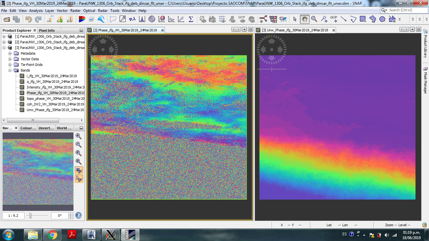
I do snaphu unwrapping and it generates the next product, but I do not think it’s right about the phase. Then the DEM that generates is not the correct one either, for the study area. Could someone tell me what is happening?
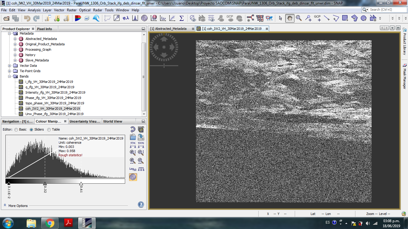
I’m afraid the quality of your inteferogram is not sufficient to generate a fully covered DEM. As you see, there are larger areas in your image with low coherence (no fringes). During the unwrapping process, thesse areas are not correctly converted to an absolute phase. What parameters (TOPO, DEFO, SMOOTH) did you use for unwrapping?
What is the temporal baseline of your image pair?
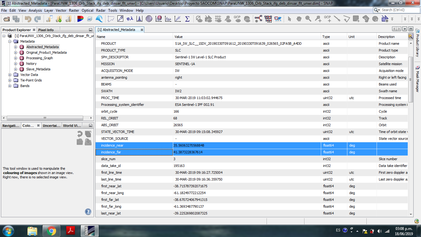
To get a proper DEM you need high coherence throughout the entire image.Can you please post an image of your coherence (including the color bar)? Additionally, the incidence angle and the perpendicular baseline (can you please check how large it is?) play a role.
Thank you. That low coherence may be due to the temporary basis or the type of soil ?. It’s a maritime coast, that’s why there is a lack of coherence in the lower part (I must remove it). Then there are mountains / elevations of sand, lagoons and fields.
hello, is it true that SNAP has released a plugins for unwrapping? so we didnt need the virtual machine to unwrap? Plus, i found a video on youtube on how to use the plugin. Link below: https://www.youtube.com/watch?v=sH4Uhsgmpak
I have follow the tutorial and it runs exactly like the video. I have been running it for 6 hours and didnt get any result yet. Can anyone confirm that this method is working or not? Thank you.