Hello
I’ve run the SNAP-StaMPS workflow for a masters project looking at subsidence on a golf course on a coastal peninsula. I’ve manged to run this successfully thanks to really clear and comprehensive guidance from @ABraun, Matthias Schlögl, Andrew Hooper and the ESA RUS training kit among others, for which many thanks. I am having hard time thought accepting the final velocity output.
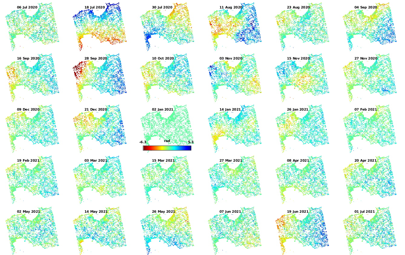
The results seem to be robust to changing various parameters, I could bot detect any unwrapping errors, and the general of LOS range seems to be within a reasonable range for a non-seismic area (generally -20 to +10 mm/yr) when referenced to a GNSS station. All good so far.
However, when looking at the velocity output, two things strike me as odd.
-
A huge section of the interior (~100km2) seems to be subsiding at a rate of 2-5mm/yr, which is unexpected as this is a hard rock area with shallow soils and the analysis period (12 months) hopefully mitigate against any seasonal effects (but not interannual ones). There seems to be a gradual gradient from SW-NE which is particularly notable in the southwest of the image.
-
The maps shows lots of groupings 50-200m wide at the extreme ends of the range above. Closer inspection in the area of interest shows that a lot of these are on arable fields, with evidence of tracks showing movement of heavy machinery, but not always.
The ‘vdrop-do’ plots do not show any interferograms with strong influence on the output, and the results are similar for ascending and descending passes. I attach the velocity map and the ‘w-dm’ and ‘u-dm’ plots. I wonder though if anyone provide any thoughts on the following (I know that this may be hard without knowing the context of the area, and happy to answer questions or provide more data):
- Is the effect in (1) an atmospheric or unwrapping error (I applied the linear correction from TRAIN, but did not run step 8)?
- Are the groupings in (2) likely to be a real signal or localised unwrapping errors?
I also have a couple of more general questions:
- How does PSI work in areas of uniform ground, e.g. short grass/bare soil, where there is not a strong single dominant scatterer, but instead the signal is made up of a contribution from lots of different scatterers from the resolution cell? To what extent can we be confident that phases changes are a reflection of the ground moving and not anything else that might affect the phase shift, e.g. vegetation growth/die back, or soil disturbance?
- Does the unwrapping process on StaMPS take into account neighbouring cells or solely PS the pixel through time. I’m guessing that 3D means x,y and t, if so, can errors propagated through a grouping of cells similar in size to that mentioned in (2).
Many thanks
Gavin