Hi there guys,
I hope you’re doing well.
I am stuck on a step in StripmapApp and so I was wondering if I could get an advice from you guys.
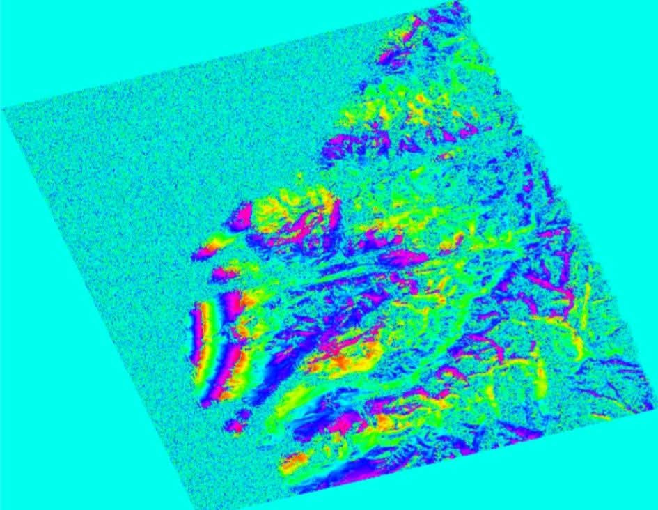
I am using ALOS PALSAR pair of scenes for performing interferometry and part of the scene is located offshore. I was wondering if there is a way applying land mask in StripmapApp (using ISCE2). I believe it will help unwrap better and faster and possibly improve further analysis (ionospheric correction etc).
I will appreciate any guidance on that.
What i tried so far is…
I tried waterMask.py but the link to mask downloading is seemingly dead…
I then tried wbd.py and I got to download a .wbd landmask for my area.
Next, I used WbdSticther.py to stitch watermask and dem (possibly) however the links it use fail as well.
I am wondering if it’s possible to specify a flag in input StripmapApp.xml so that it can use available watermask during analysis and avoid analyzing pixels with zero and less than zero elevation values.
Any suggestion…
Thanks a bunch…
