Hi,
When I create a subset of a Sen2Cor atmospherically corrected image and save it as GeoTIFF the result is not displayed properly in SNAP:
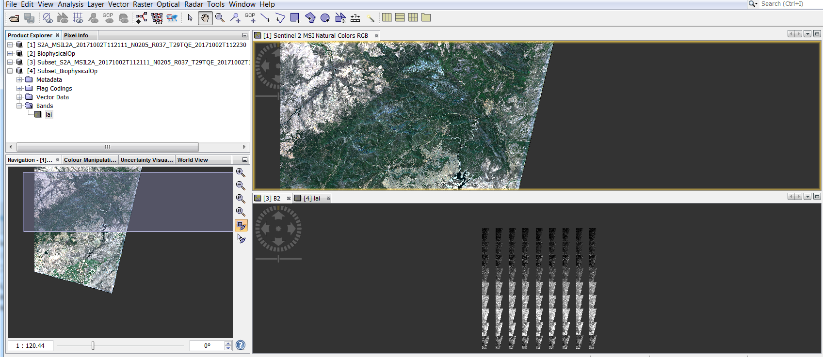
The GeoTIFF displays correctly in QGIS. Also, when the output is saved as BEAM-DIMAP or if another image is subsetted (e.g. output of BiophysicalOp) then the output GeoTIFF is displayed correctly in SNAP.
Tested using Sen2Cor 2.4.0 and SNAP 6.0-PREVIEW5. The graph I used first resamples the input to 100 m and then subsets spatially as well as band-wise (only the reflectance bands are selected).
Thanks