Is it possible to subset a SAR RGB combination image using an external shape file?
suppose I want to overlay a district boundary and want to calculate the total area under forest cover of that district?
Please use the search function of this forum to find similar topics before opening a new one.
You can combine masks, one of the imported polygons, one for a land cover class.
You intersect both masks in the mask manager to get the pixels of interest. Then you calculate their area: Calculating water area
thank you so much
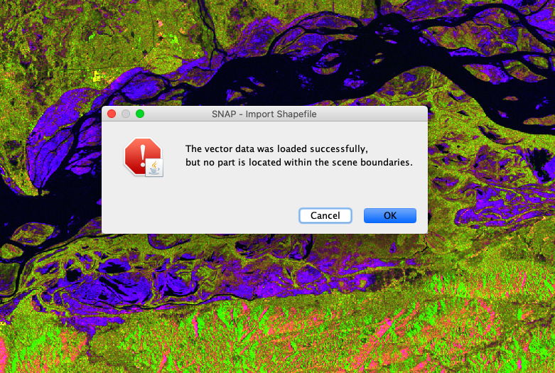
this means the coordinate system of the shapefile and the coordinate system of the raster do not match. Maybe one is geographic coordinates (WGS84, latitude/longitude) and one is UTM (metric x/y).
SNAP needs the shapefile to be in the same coodinate reference system as the raster it is imported into.