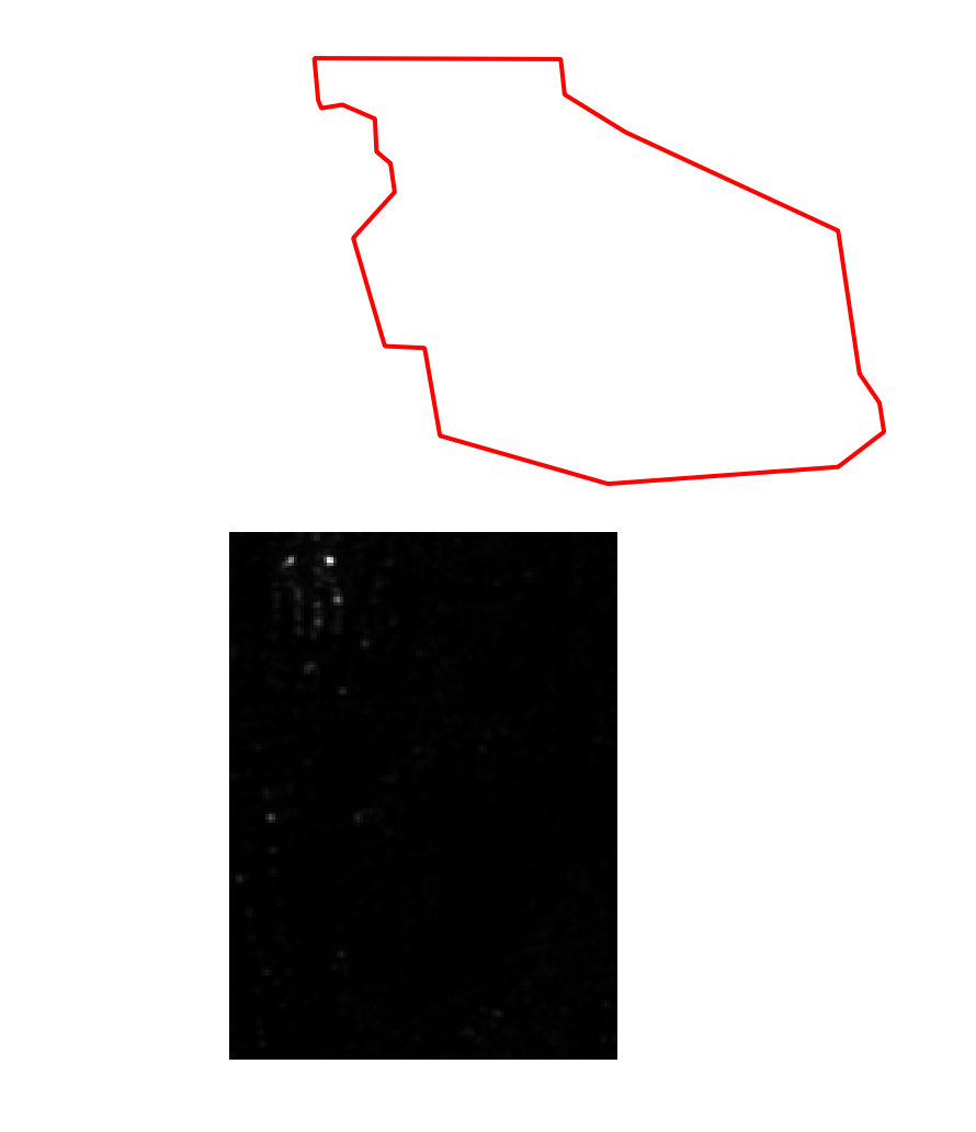
I am using Sentinel1 GRD IW data and when I apply the subsetting in SNAP the output area is shifted with respect to my area of interest. I use WKT Polygon with latitude and longitude. The same problem happened with SNAPPY. The procedure I followed is to first apply the orbit correction and then apply a subset
    parameters = HashMap()
    parameters.put("copyMetadata", "true")
    parameters.put("geoRegion", aoi_gdf.geometry.to_wkt().iat[0])
    subset = GPF.createProduct("Subset", parameters, apply_orbit_file)