Hello all!
I have been searching this forum all day and tried several options that were mentioned in other threads but it did not work.
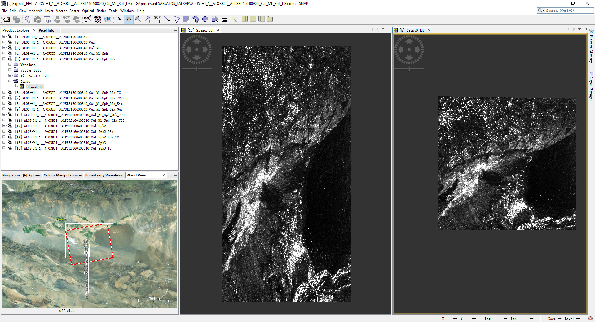
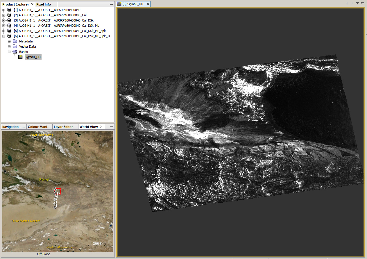
I have some vertex downloaded ALOSPALSAR L1.1 imagery which I tried to pre-process according to the given tutorial. everything went smoothly until the SAR simulation terrain correction. My result is a mostly blank image that according to the worldview was geolocated correctly but the pixel value was not warped I think?
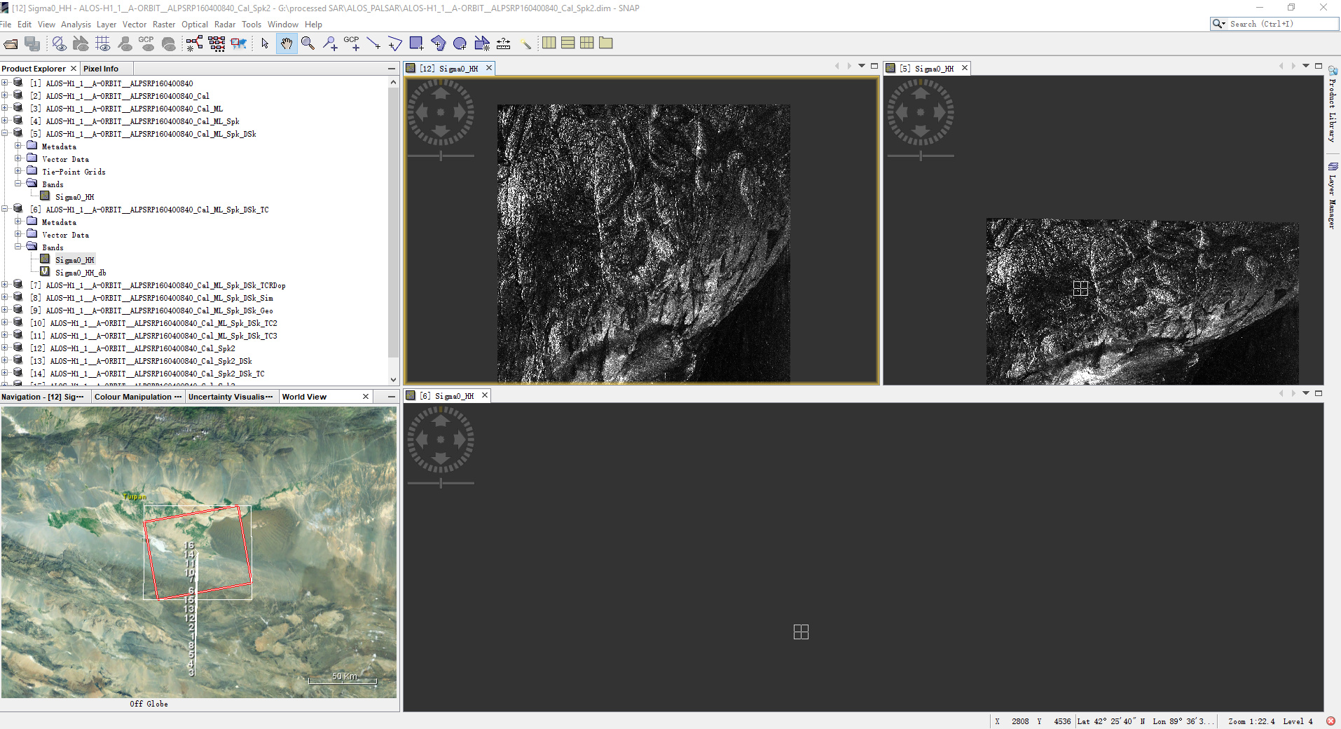
I tried several different order of steps (you can see in naming of the subsets): no multilooking, no deskew, etc based on what I read on this forum but alas.
when I check the metadata I find that there are nor GCP in the table.
Does anyone have any suggestions?
Thank you very much!
In case you did use SRTM 3sec , so This is the problem, would you please to try up SRTM 1sec,
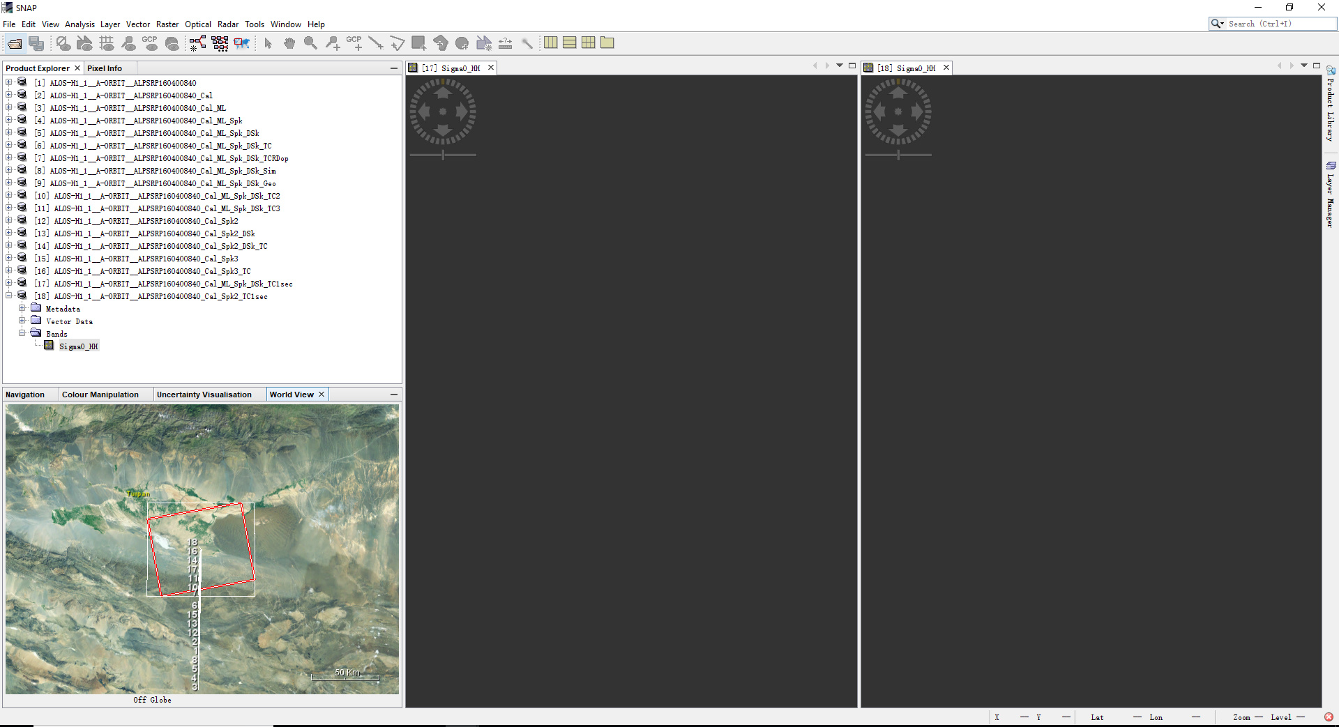
Thank you very much for your reply! I tried with the SRTM 1sec but it did not help. you can see in the screenshot (17 and 18).

I also included the residual text from the process.
Any other suggestions?
Would you please to share the identifier name of the two products , I could give try today later,
What do you mean by identifier name? The metadata of the image?
The name of the to products, how those appear in your folder, copy both and share, in order to download by myself and process,
sorry for the late answer! I was in a meeting.
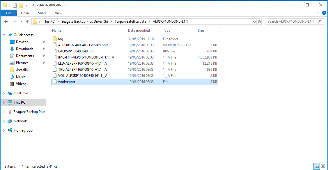
ALPSRP160400840-L1.1
this is the name of the file in the folder. screenshot for reference. this is the file I’m currently working with. The region is turpan basin region in xinjiang if necessary. Thank you very much for your replies!
@trialanderror Didi you try this one - http://step.esa.int/docs/tutorials/ALOS%20PALSAR%20Orthorectification%20Tutorial.pdf
I had success with the steps provided there.
yes, this is the original tutorial I tried first. I succeeded in everything except the last step so something must have gone wrong along the way.
Yes, what’s your second Image identifier nämä?
I haven’t worked with the second image yet. I first want to orthorectify this one. is it necessary to process two at a time?
No, it depends on the goal of the processing, but I’ll check up late today, and comeback to you,
1 Like
Thank you very much!!!
I downloaded your data and gave it a try. These were the steps
- Calibration
- Deskewing (lveci suggests to do this before multi-looking here: Setting ground control points (GCPs)) I used SRTM 1 Sec (AutoDownload)
- Multi-Looking
- Filtering
- Terrain Correction, again using SRTM 1 Sec (AutoDownload)
1 Like
Thanks a lot to @ABraun he gave try also, nothing to add at what our colleague @ABraun mentioned, except of no need to unzip your image as you mentioned, and I used GCP 700, also the same SRTM 1sec I used in Deskewing and in Tc,
I did the processing because I promised you

3 Likes
Ah, this method looks very promising! I will try it tomorrow and let you know if it works. Thank you very much everyone!
Thank you every one!
I re-downloaded the data and opened in SNAP without unzipping first. Then I noticed I should not forget to select only the intensity band for CAL. I used the order of ABraun with the the parameters of falahfakhri and Range-Doppler for TC (SAR-sim returned the same result as in the beginning). Thank you very much everyone! You really helped me! Have a nice day!

2 Likes
trialanderror,
Are you aware that radiometrically terrain corrected PALSAR data are available to download from ASF using Vertex? The entire archive has been processed at both high (12.5m) and medium (30m) resolutions:
https://www.asf.alaska.edu/sar-data/palsar/terrain-corrected-rtc/
actually, it is not the entire ALOS archive, but only the images which are part of the agreement between JAXA and the Distributed Active Archive Center (DAAC).
The total amount of ALOS PALSAR data is much higher: https://auig2.jaxa.jp/ips/home?language=en_US?language=en_US
Of those available at ASF, only a part is converted to RTC products: ALOS PALSAR – Radiometric Terrain Correction | Alaska Satellite Facility
I should have qualified my comment by saying the PALSAR archive at ASF has been processed, which includes total coverage over the Americas and extensive coverage outside this zone.
The only PALSAR data in the ASF archive that were not processed were those granules where an acceptable DEM was not available, Antarctica, and areas in Europe and Asia ablove 60 degrees latitude. See the coverage heatmap at https://www.asf.alaska.edu/sar-data/palsar/terrain-corrected-rtc/.
1 Like