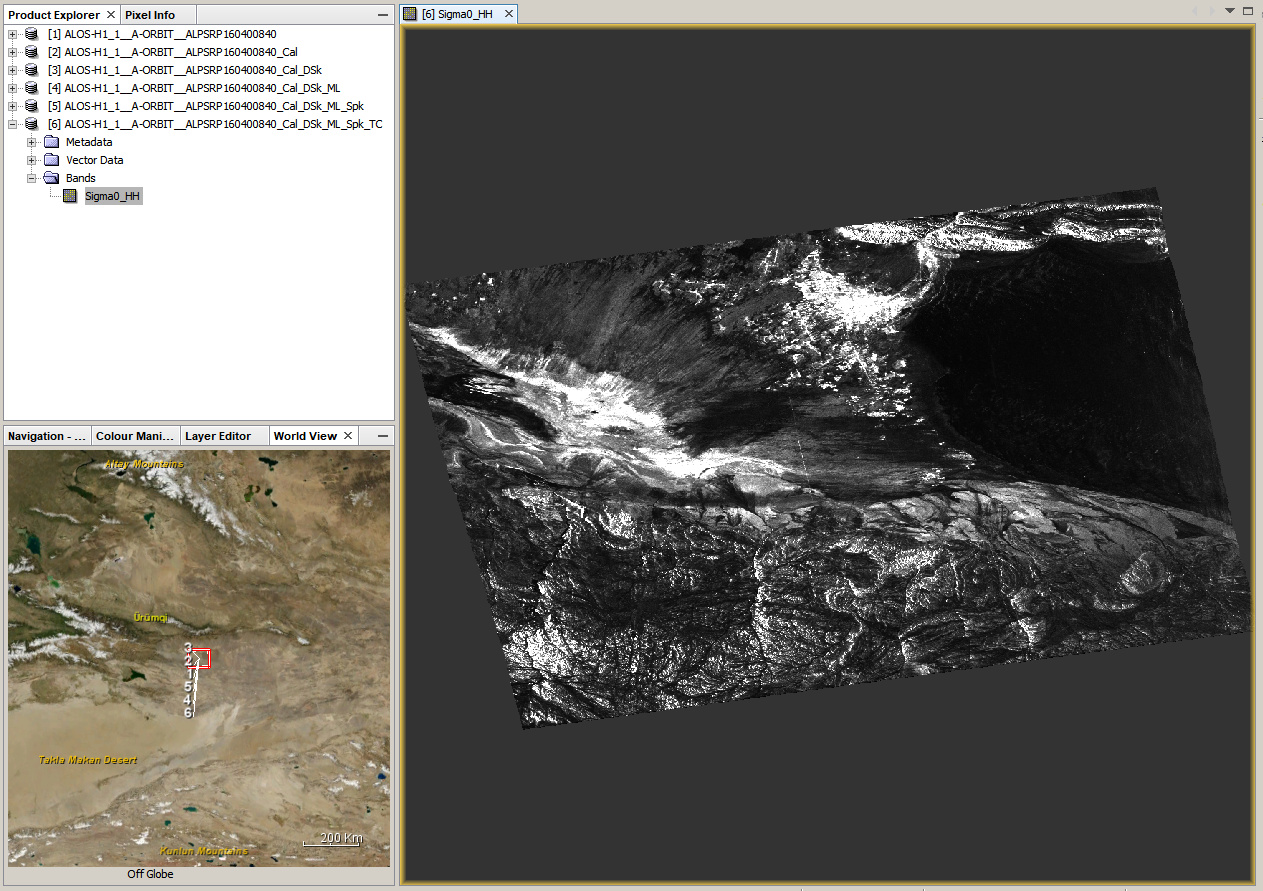
I downloaded your data and gave it a try. These were the steps
- Calibration
- Deskewing (lveci suggests to do this before multi-looking here: Setting ground control points (GCPs)) I used SRTM 1 Sec (AutoDownload)
- Multi-Looking
- Filtering
- Terrain Correction, again using SRTM 1 Sec (AutoDownload)