Hello,
I am working in a large area and I need terrain corrected images. I think the way to get it is using sen2cor tool and modifying L2A_GIPP.xml. So I’ve changed DEM directory and I’ve introduced a path in which I want the DEM to be downloaded:
<DEM_Directory>NONE</DEM_Directory
<DEM_Directory>DEM/DEM_90 </DEM_Directory
But it doesn’t work. It generates a new folder with level 2 imagery where folder with L1 imagery is located, but the DEM folder is empty. I suppose that the new images are not terrain corrected. I tried with relative and absolute paths but it doesn’t work. I have also tried with different resolutions but nothing occurs.
I have downloaded the stand alone version of sen2cor and worked via command line in cmd.
What is happening? Could someone help me?
Thanks
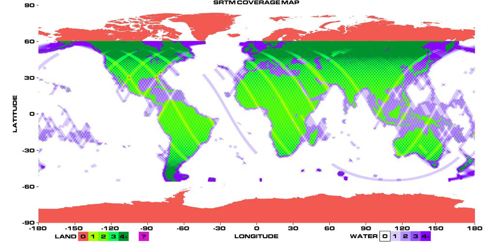
No, the area is located in the north of Spain, so it is within the coverage of SRTM …
What should I do?
Thanks
Hallo Nihu,
the example you give is only a part of the full line in the cfg-file L2A_GIPP.xml. Do you shortened it or is that the error?
The complete line should be
<DEM_Directory>DEM_90</DEM_Directory>
if you like to save the digital elevation model in the folder DEM_90. The folder DEM_90 then is located in your Sen2Cor-home directory. I am not sure if you must create this folder by yourself or if it is created automatic when not existing - I dont remember. But you can easily test it. I never tried working with a subfolder in the specified DEM-directory. However, I have different DEM folders all located side-by-side in my Sen2Cor-home. You cannot redirect the DEM location to another path neither with absolute nor with relative pathes - as far as I know.
If you like to check whether terrain correction was applied look into the processing report file.
Good luck
bdpg
