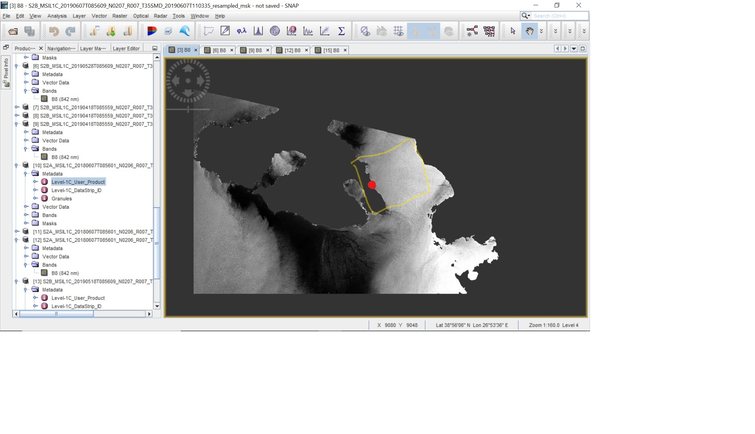
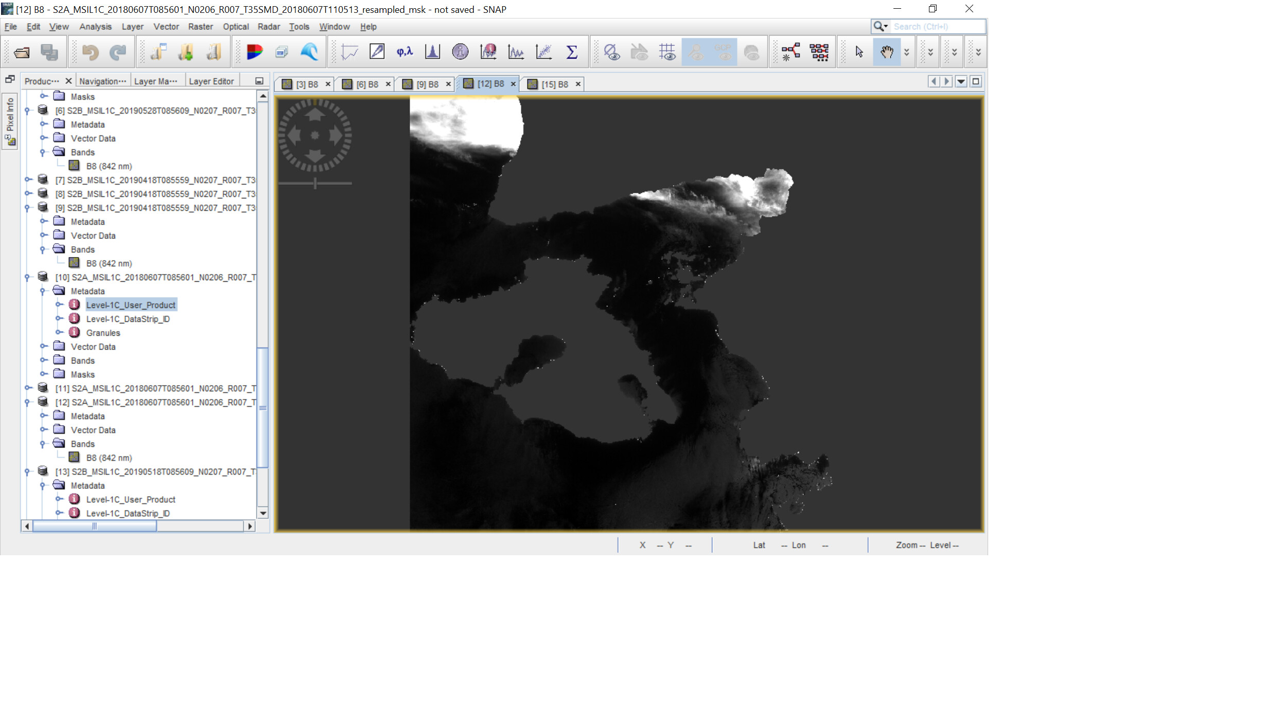
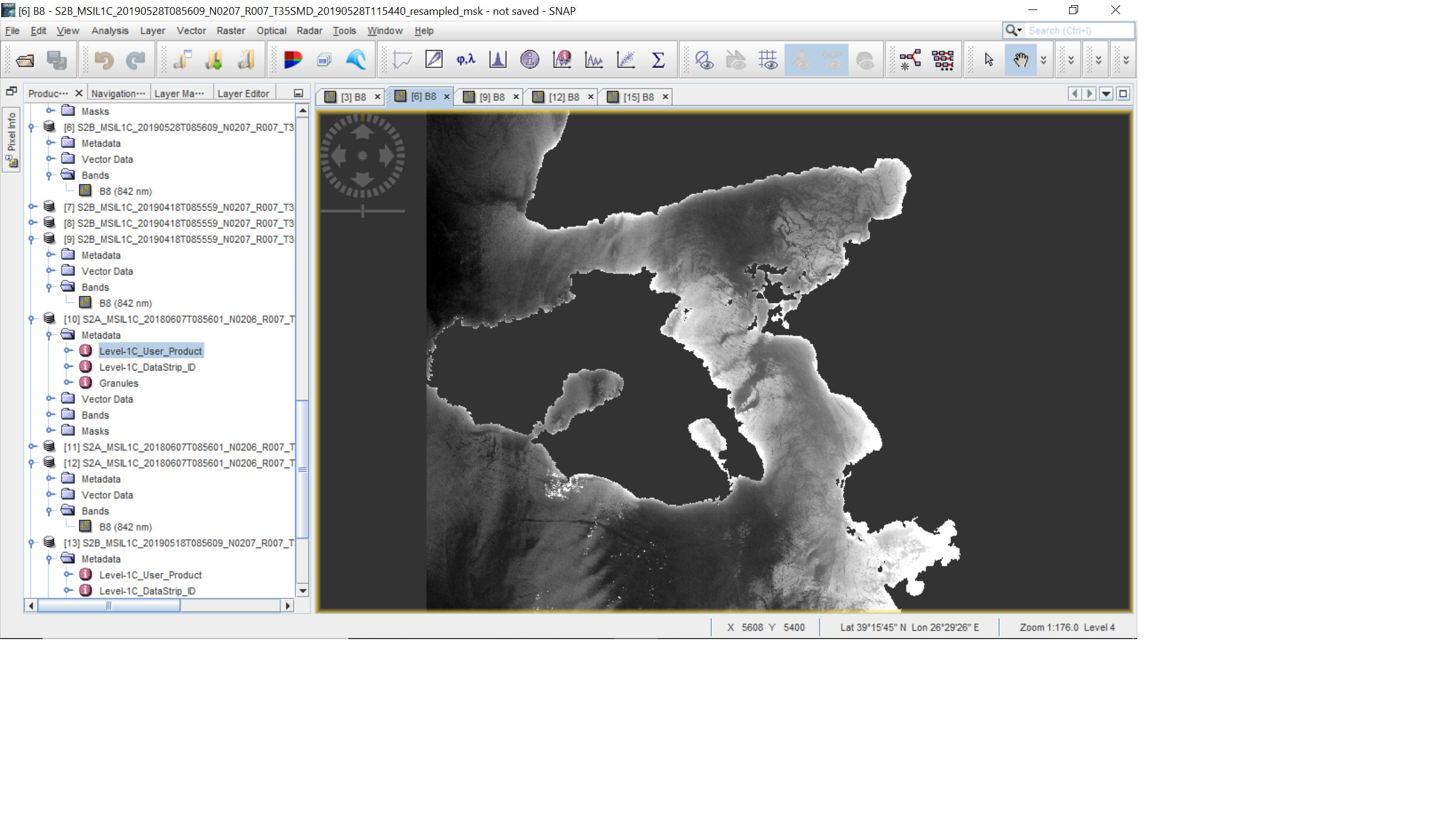
Can anyone please tell me what is the reason for these different light conditions in these images? The AOI is marked in yellow. The wind speed and the direction of the dates are different. The wind speed was observed in the point in red. The glint angle was calculated for all these images. The images which contain high glint in the AOI are,
(1)350 degrees and 7 km per hour (wind direction and speed)
(2)130 degrees and 11 km per hour
(3)125 degrees and 6 km per hour
The images which contain low glint are,
(1)35 degrees and 13 km per hour

(2)345 degrees and 6 km per hour

Some areas of these high glint images contain very similar glint angle values. However there appearance is not the same. These all images are taken from the same orbit and in descending mode. All are taken at the same time of 085609.