I am working with Radarsat-2 data in the western hemisphere. In performing Top Phase Removal, I am autoloading a SRTM DEM (I have tried both 1 and 3 arcsec). In both instances, the topo phase is left/right reversed. Not unexpectedly, it does a poor job of removing the topographic phase.
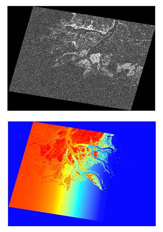
To clarify this, I am attaching both the coherence image and the topo phase.
Is this a known bug? Is there a fix?
Dear Don, this is a problem specific to RS2 and possibly TSX with the Topo phase removal operator. Other operators should not be affected as they should handle it. We’re looking to fix the problem asap.
Thank you. I wish you luck in figuring this out. The fact that the R2 product is properly geocoded (despite the incorrect orthorectification) makes this all the more perplexing.
In the meantime, I seek to continue using SNAP for my processing. The fortunate part is that I am dealing with very flat topography. I will investigate whether ellipsoid correction can be used to produce a GIS-usable (geocoded, but not orthorectified) product.
The RS2 flipped image problem with topo phase removal should be fixed.
Thanks