TopSAR Processing

Please make your answer within one post, to be easier to follow, and also, would you please to add the link of this article,

I see. Thank you so much! You and especially @falahfakhri are very patient in responding to my queries. Thank you so much. I really appreciate your help.

https://aip.scitation.org/doi/10.1063/1.4947408

Would you please to add up the identifier name of these two different frame images!

These images cover my AOI.

Path 127, Frame 119
S1A_IW_SLC__1SSV_20151114T093138_20151114T093205_008599_00C33B_77F6

Path 127, Frame 120
S1A_IW_SLC__1SSV_20141026T093139_20141026T093211_002999_0036A5_DDD1

Thank you.

As I explained to you, it is not possible to process different frames images, because it is not possible to get the identical bursts of AOI form both within the same sub-swath,

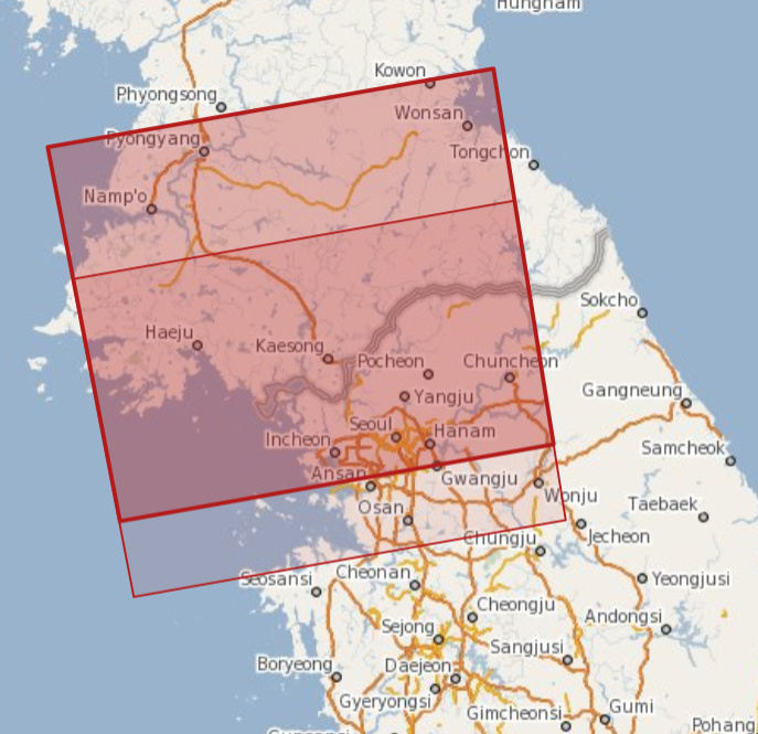
These are your images,

Similarly to the case I explained in here,

Different Sentinel-1 Frames

Or it is possible in case of corresponding bursts of both frames The bursts are aligned to start at the same position along the orbit at millisecond-level.

1 Like

according to @mengdahl 's post here, this should be no problem. The only thing to watch out fro is the selection of bursts in the Split operator.

1 Like

Yes, I agree with you and that what, I said, but in case the burst cover the AOI, are match each other in both frames,

hi team,
I’m trying to do land displacement analysis, by following the steps as discussed above while doing the topographic phase removal the output is having the some NaN values like below images

is it correct or not? please help me.
I’m just surprising by getting NaN values like that sequence, please help me.
thank you in advance.

Which DEM did you select?

Be sure that the autodownload selected DEM is covered your study area,

I did select the appropriate bursts from each frame and it worked fine actually for now.

I just want to another another question.

When doing Phase to Displacement (in SNAP), is the displacement already in the vertical direction or is it in the LOS of the satellite?

Thank you.

The displacement is in LOS, but it is possible to get the vertical displacement, it is well explained in this post,

Source of the post

And in this post as well,

Source of the post

1 Like

Thank you! I did use the formula given as shown in the two posts. I just want to confirm if vertical measurements are always larger than LOS measurements?

Also, can I use some kind of scripting in SNAP to get the pixel information instead of using some drawing tools?

Thank you.

In general the equation is used to convert LOS to Vertical, showing that the vertical disp. depends on the cos of the incidence angle,

Source

But according to the Zhong Lu Daniel Dzurisin, 2014 LOS, is more sensitive to vertical dis. uplift and subsidence, which is your case,

image

But according to my experience and the other discussions from earlier posts in here Source of the post

The atmospheric effects has the large pack of the increasing the amount of real disp.

I didn’t quit understand what do you mean scripting in here, but in general you use pixel info and get the information of any pixel by pointing on it,

1 Like

So, it is normal to get somewhat larger vertical measurements (VD) than the LOS measurements. In my case (using the given equation), I have a maximum difference of about 1cm (VD > LOS). I thought before that LOS measurements will always be larger than VD measurements.

I am measuring a longitudinal surface displacement of a road. I have used the cursor to move around the area to get the pixel information as well as using the line drawing tool. I did it several times for a number of pairs (14). I have the results already. They looked okay actually. But my supervisor, asked me if instead of doing this several times, if I can use a written script (say in Python) to get the pixel information along the line of pixels (road line) I am interested in. For example, in QGIS, I can call Python to do some tasks for me as long as I have a script.

Actually I’m new learner of python, but you could use the pins and then export the values of each one corresponding of all your products,

Since SAR sensors are side-looking, it is the vector sum of both the vertical and horizontal components along the line of sight (LOS) that can be measured, creating some ambiguity in separating the two elements.

A displacement in the vertical direction will induce a displacement SMALLER when projected in the LOS direction. However a LOS displacement cannot guaranty that the displacement in indeed vertical.

I can take a example. In glaciology, when studying ice-sheet displacement, the ice-flow mostly follows the topography, which is very flat in some regions. You can observe by DInSAR a displacement. however, you know that this displacement in the LOS direction is due to horizontal movement instead of vertical.

I hope it helps.

Yes, using pins is another option. I didn’t answer my supervisor yet, but I think he will push me using script to extract the pixel information even if I am used to the drawings tools already.

One more thing, which do you recommend to report?

  1. the pixel information taken from exporting the mask pixels, or
  2. the pixel information taken from ‘Analysis --> Profile Plot’. I copied and pasted in excel the ‘mean’ values from the tabulated results.

I do get different values of displacements from the two extractions. But not that much.

Thank you.

Different approach of extracting the values shouldn’t change the original value,

I was expecting that before but I was surprised when I plotted the results for comparison.

Here are screenshots from the ‘Analysis --> Profile Plot’.

I think the blue region shows the upper and lower limits (computed by sigma method?) and the dark blue line is the mean value. My band is named: vert_displacement_VV. Then I do get (not my own) the last two columns with _mean and _sigma.

When I move the cursor to the pixels of my interest, and compare the values from those extracted using the line drawing tool (in .txt), there’s no difference.

Please, enlighten me about this one.