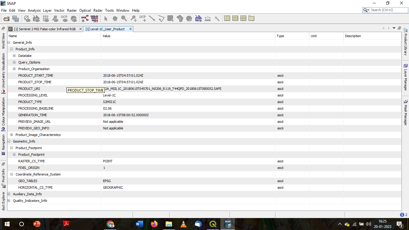
I have sentinel 2 level 2A resampled product and the other raster image of the same area which was generated ENVI file. I want to synchronise these two raster images in the navigation window. But I am unable to do it.
I have attached the files of the meta data of Sentinel product and other generated raster product. please assist me in this regard.
The SNAP version used is SNAP 9.0.0 with all the updates have been applied.
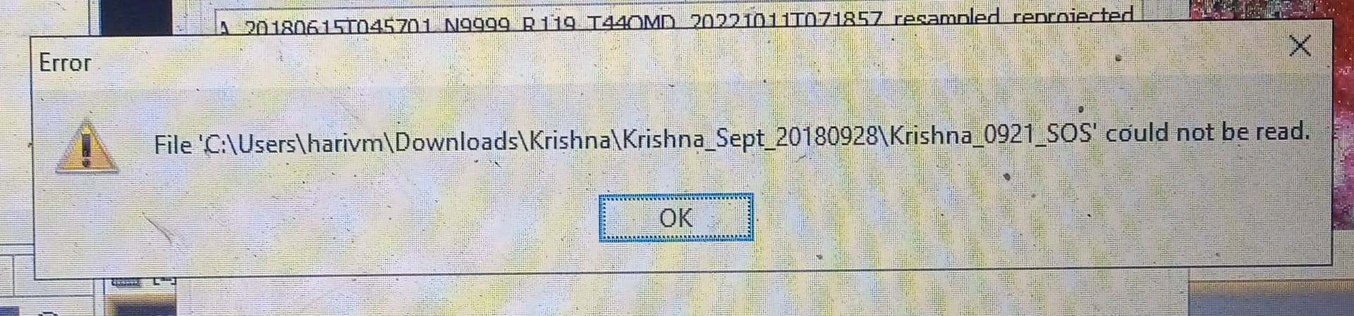
Also the log file related to the error was attached below.
But, when i do the reprojection (Raster> Geometric>Reprojection), for the generated raster product.The following error was occured when the data was selected in the source product.
“File could not read”
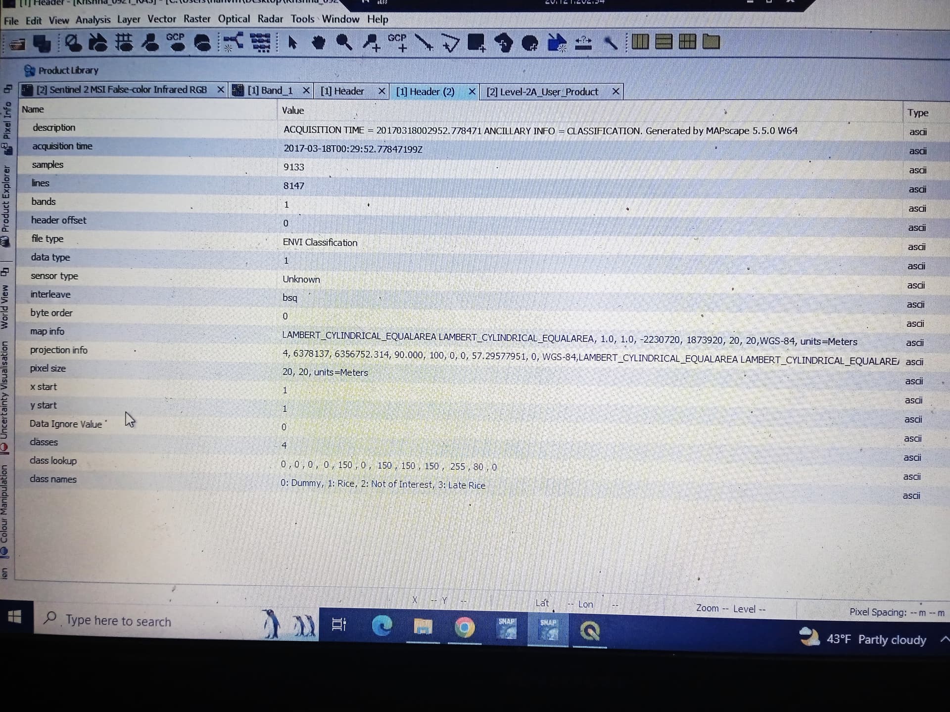
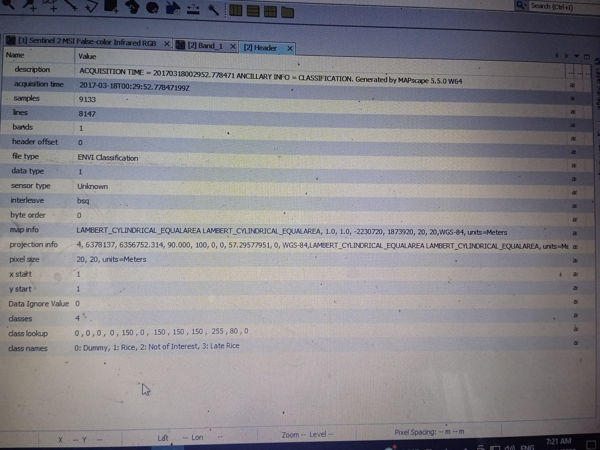
Also the header file for the generated raster product is attached below.
Are you able to read the ENVI product and visualize it properly? Have you checked in the pixel info that you have a coordinate system? I see WGS84 as your geodectic system.
In your screenshots is not clear which one is the L1C product and if it has a projection. What is what?
Yes, I am able to read and visualise the ENVI products. But, I cant give the ENVI file as a souce input to the Reprojection window. can ENVI files be reprojected in snap?
If ENVI files can be Reprojected.please assist me in changing the CRS of the ENVI file.
It is possible that the projection in the ENVI file is not supported.
You can try to convert by using QGIS to a GeoTiff file for example or change the projection.
Sir,
I have converted the ENVI file to Geotiff format in Qgis. The geocoding for the generated file has supported for Geotiff format. While I want to convert it from the respective CRS (Coordinate Reference System) to the WGS 1984 UTM Zone 44. The file does not show up (Null image). Please assist me in this regard.