Hello, I tried to generate a DEM (Digital Elevation Model) from a Sentinel-1 image using the instructions in the link below. However, when I examined the resulting images, I noticed that the pixel values for sea level and mountains are completely reversed. How can I resolve this issue? I’ve tried it for different regions, but the results are always the opposite. Can you help me with this?The steps in the video have been followed exactly. Only in the burst process, the entire region (from 1 to 9) has been taken.

SRTM

Result(elevation_VV)
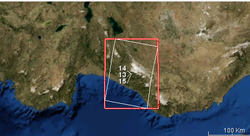
Working area
Images Used:
S1A_IW_SLC__1SDV_20230508T035926_20230508T035953_048437_05D38C_F257
S1A_IW_SLC__1SDV_20230905T035932_20230905T035959_050187_060A5B_6D39