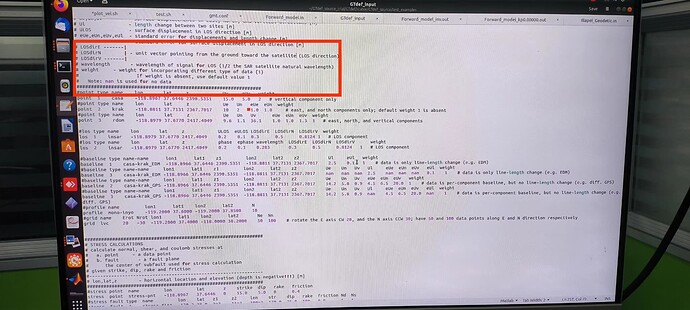
Dear Step Forum community,
I am currently working on my PhD project involving [Dislocation Modeling using GTdef (v4.0)], " Dislocation Modeling using GTdef (v4.0)", specifically focusing on Earthquake modeling. To ensure accuracy in my simulations, I am in need of the unit vector values related to Sentinel-1 in both the Ascending and Descending tracks.
Could someone kindly provide me with the necessary information regarding the unit vector values for Sentinel-1 in the Ascending and Descending tracks?
I don’t know how to get this from SNAP.
However, what you need to get is the direction from a given point in the image toward the satellite.
For a given point, you need to have:
-
its observation time as part of a given image.
There are multiple ways to get this information. The observation time of a given point in the image depends linearly only on its position in the azimuth direction. The observation time of the first and last line in the product is annotated in the meta data. The observation time of a set of ground control points is as well provided in the annotation. It is then possible to interpolate this date for a given points. But that’s not the only possible ways to get this.
-
the location of the satellite at this observation time.
The locations of the satellites at successive point in times are provided as series of state vectors. Each state vector correspond to the position, velocity and attitude of the satellite at a given date in the ECEF coordinate system. It is then possible to interpolate the location of the satellite for any observation time in the ECEF coordinate system, and then to convert this position into lat/lon/alt coordinate in the same system as the positions within the image.
The state vectors are provided in the product annotations, as available at the time of generation of the product. More precise statevectors can be extracted from external orbit files available here: https://scihub.copernicus.eu/gnss/#/home
-
compute the vector pointing from your point of interest to the satellite (this is straightforward).
I understand that you want those direction vectors as tabulated values for a series of tracks and a given location, both in ascending and descending pass. I am not aware of this information being already computed an available. I think you will have to compute this on your own using the steps expressed above. Notice that there may be some slight variations from one date to another. I don’t know the accuracy required by your application.
1 Like
Thanks for your comprehensive respond @ghajduch.
1 Like
