Hi everyone,
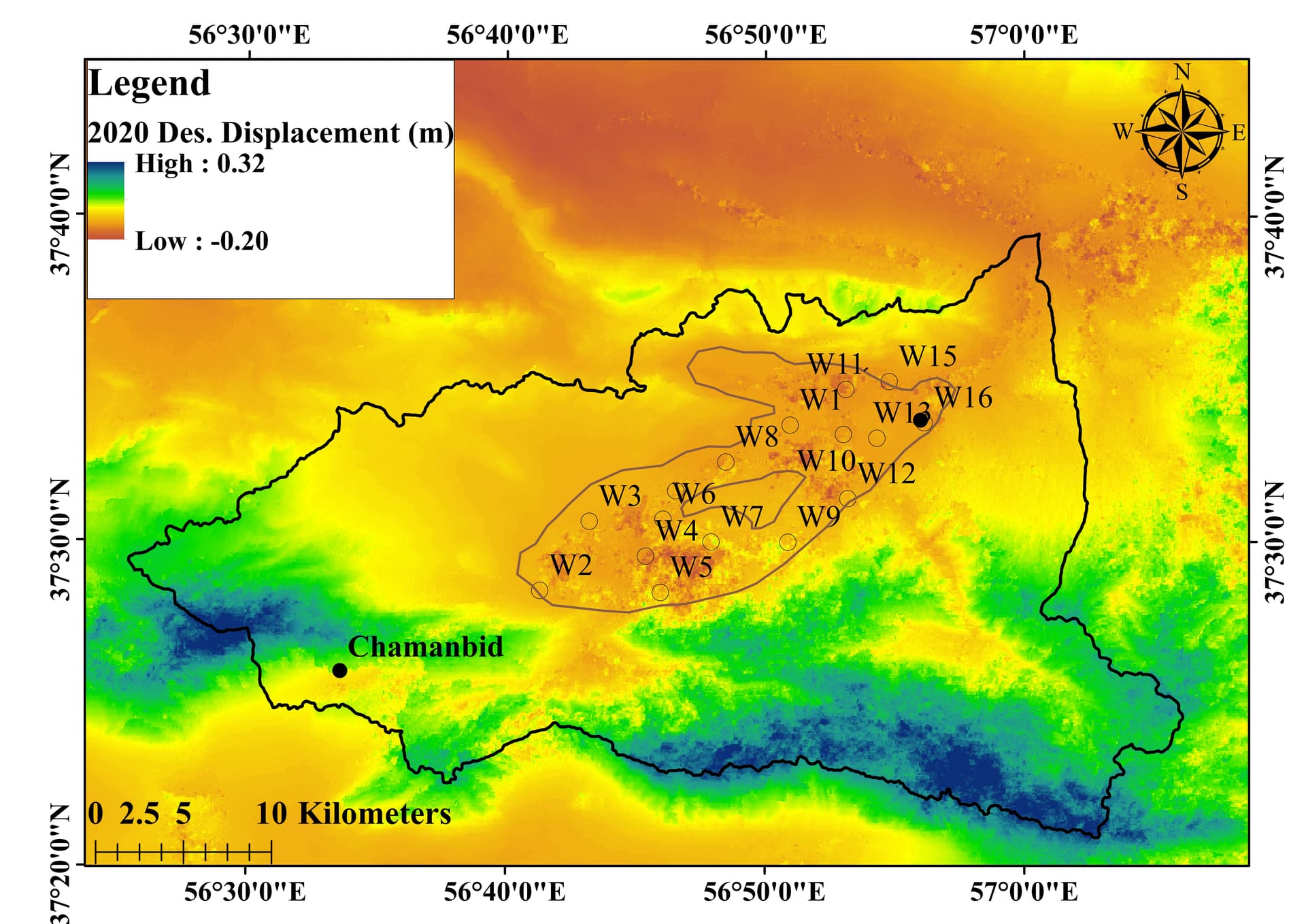
I have used conventional DInSAR to monitor the land deformation in an area, all results have shown uplift in the southern parts of the basin which are considered as mountains and high height areas! I have the information that artificial forestry has been done to reduce erosion etc. but I’m not sure if it affected the results or not. Results showed an uplift in all years, since 2014. can you help me how to justify my results? I have uploaded one of the displacement maps.