Hi
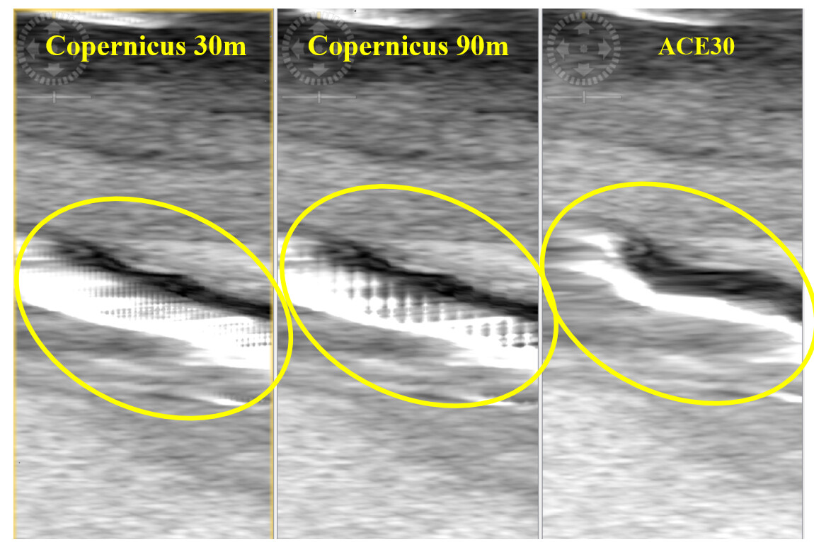
I am working with GRD images. After some preprocessing, I plan to apply terrain correction. As my area of interest is outside of SRTM, so I plan to use ‘Copernicus 90cm Global DEM’ in my python code in jupyter.
I used below:
parameters.put(‘demName’, ‘Copernicus 90cm Global DEM’)
but it did not work and gave me below error.

I do not know what is the problem! Because it works when I use ‘parameters.put(‘demName’, ‘ACE30’)’.
- How should I use ‘Copernicus 90cm Global DEM’’ in snappy?
- I am working on glacier and I do not know using high or low resolution DEMs makes a lot of difference in terrain correction or not?
Thanks.