As far as I am aware, when no reference area is provided to StaMPS, the software will use a mean of the entire scene as reference for point deformation (please correct me if I am wrong).
Thus, for studies of a given area of interest, it should be ideal to use a GNSS reference to calibrate the results.
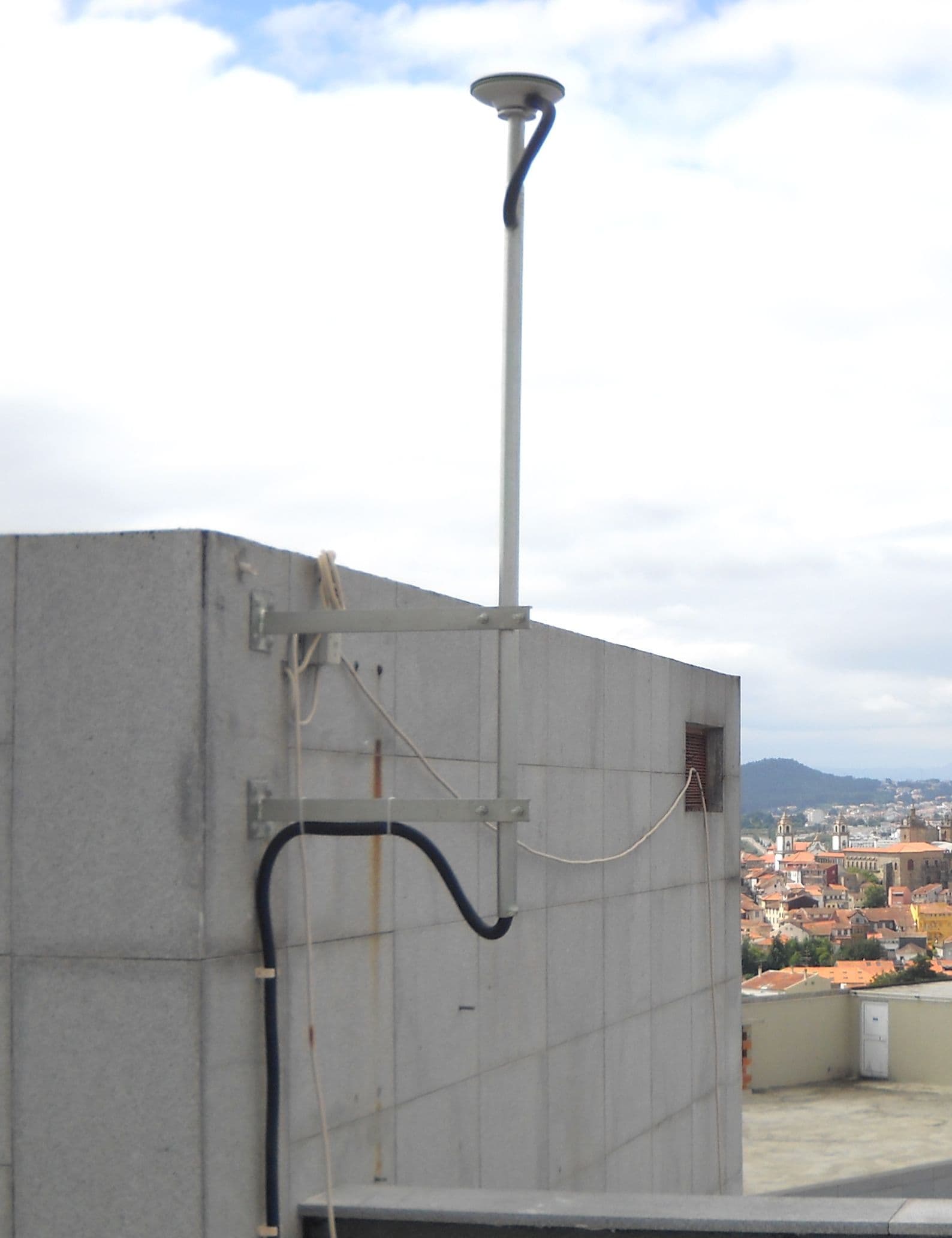
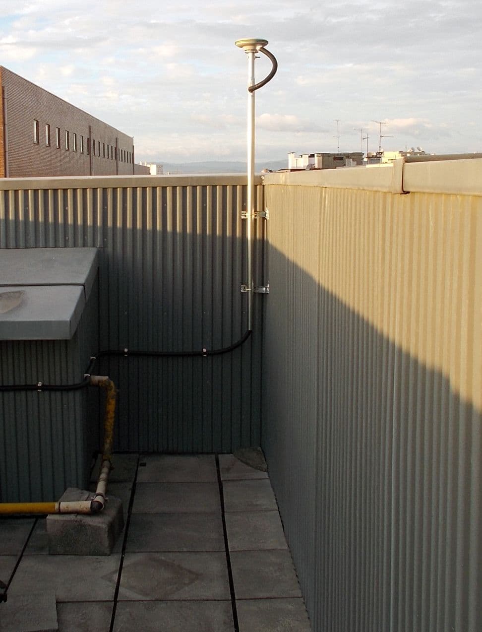
Does anyone have experience with this? I would like to understand if the correct approach is to simply provide the coordinate of the GNSS system, however these sensors are usually located next or on a building, and I am afraid to not correctly select the sensor and end up using the building or other neighboring feature by accident, considering Sentinel-1’s resolution.
Also, once GNSS reference is used, do you apply the GNSS corrections after export from StaMPS?
Came across this tutorial which I think is relevant:
https://rus-copernicus.eu/portal/wp-content/uploads/library/education/training/HAZA12_StaMPsPSI_Processing_Tutorial.pdf
Specifically from page 29 which talks about some examples after using setparm('ref_centre_lonlat', [-99.280 19.446]).
Next, we can also estimate the standard deviation of the velocity estimates (relative to the reference
area) with DEM errors and ramps subtracted, run:
ps_plot(‘vs-do’)
Based on this, I think you just simply provide the coordinate of the GNSS system and StaMPS will calculate it instantly? (I’m not exactly sure) You can check the PDF for more details. I might try it myself using the global MAGNET GPS network.
however these sensors are usually located next or on a building, and I am afraid to not correctly select the sensor and end up using the building or other neighboring feature by accident
I wouldn’t worry too much about it. Unless your area really has sudden and sharp dips in displacement. Based on my experience deformation is usually a smooth gradient so at most you might have an error of a few millimeters if you accidentally select the adjacent pixel because the adjacent pixel should have similar deformation rates.
2 Likes
Do you still have a working link for this pdf?
1 Like
Sorry I don’t have one. I only found out now that the RUS website has been shut down. Hopefully someone else has a copy.
1 Like