thank you, sir. I’m sorry I bothered you.
Apologies sir, I have the last product is the TC.
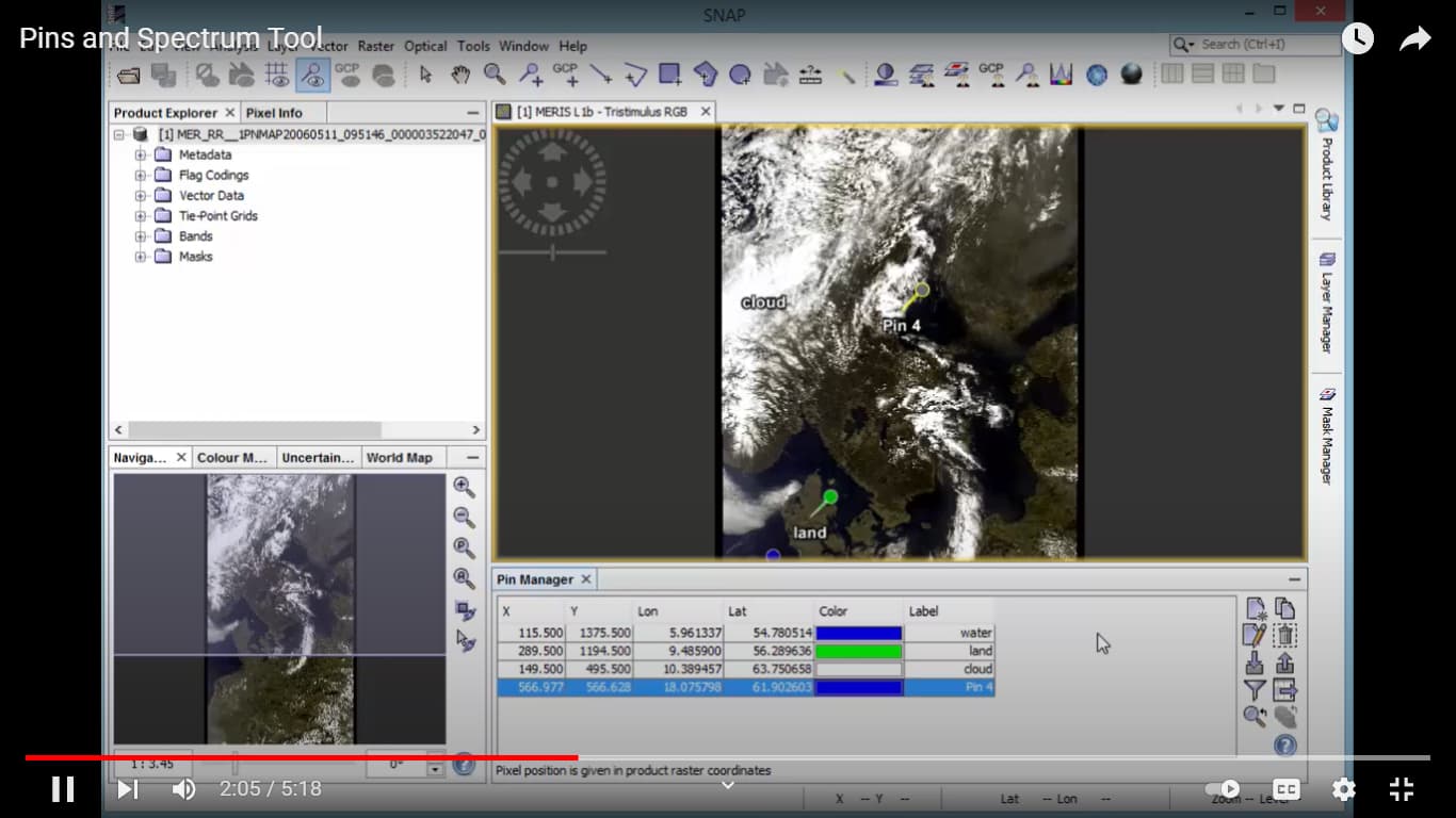
I open this product when I want to use pin manager and get the coordinate and long and lat. Right?
After that how do I calculate the RMSE?

Please don’t apologize for asking - we are here to help.
First, you need a reference DEM. Open the terrain corrected DEM, right-click on the band and select “Add Elevation”. Use a DEM of high quality which has not been used during DEM gereration (e.g. Copernicus 30m).
Then you add pins at many locations, at best distributed over the entire image. Then you load the raster values of both DEMs (your InSAR DEM and the reference DEM) into the Pin Manager using the filter tool. This allows you to export a table with value pairs which you can then open in MS Excel, for example, to calculate the difference per pair. These differences sum up to the RMSE as described in the Excel tutorial I posted above.
1 Like
Thank you so much, sir. Realy you help me a lot. thank you very much.
Apologies Sir, May I get another method for checking my results, please? If it is possible. Thank you in advance.
What is wrong with the solutions provided?
It is a good method and I tried it but I want another method just to make checking. Also, I want to make a good ability for checking my results.
I have compiled numerous methods on the validation of DEMs in this article: Braun 2021 Retrieval of digital elevation models from Sentinel-1 radar data - open applications, techniques and limitations
3 Likes
Thank you so much, sir. 
Thank you, Mr. Braun, for the today lecture
May I ask you to give me the slides, please
Sorry, which lecture and slides do you mean?
Apologies sir for the late answer,
The meeting in Zoom ( Introduction to synthetic aperture radar) at 13 October. and you are shown slides and explain it.

Sorry, this is not me at all 
I work at the university of Tübingen, not for Capella.
Apologies sir foe disturb you 
no worries, I saw that the name is quite similar…
Good evening sir
first of all I read all your (Retrieval of digital elevation models from
Sentinel-1 radar data – open applications,
techniques, and limitations). May I ask you about this section that I attached the image, my study area in Iraq how can I get the GCP there to make compression with the elevations for my DEM that I created, please? thank you in advance.

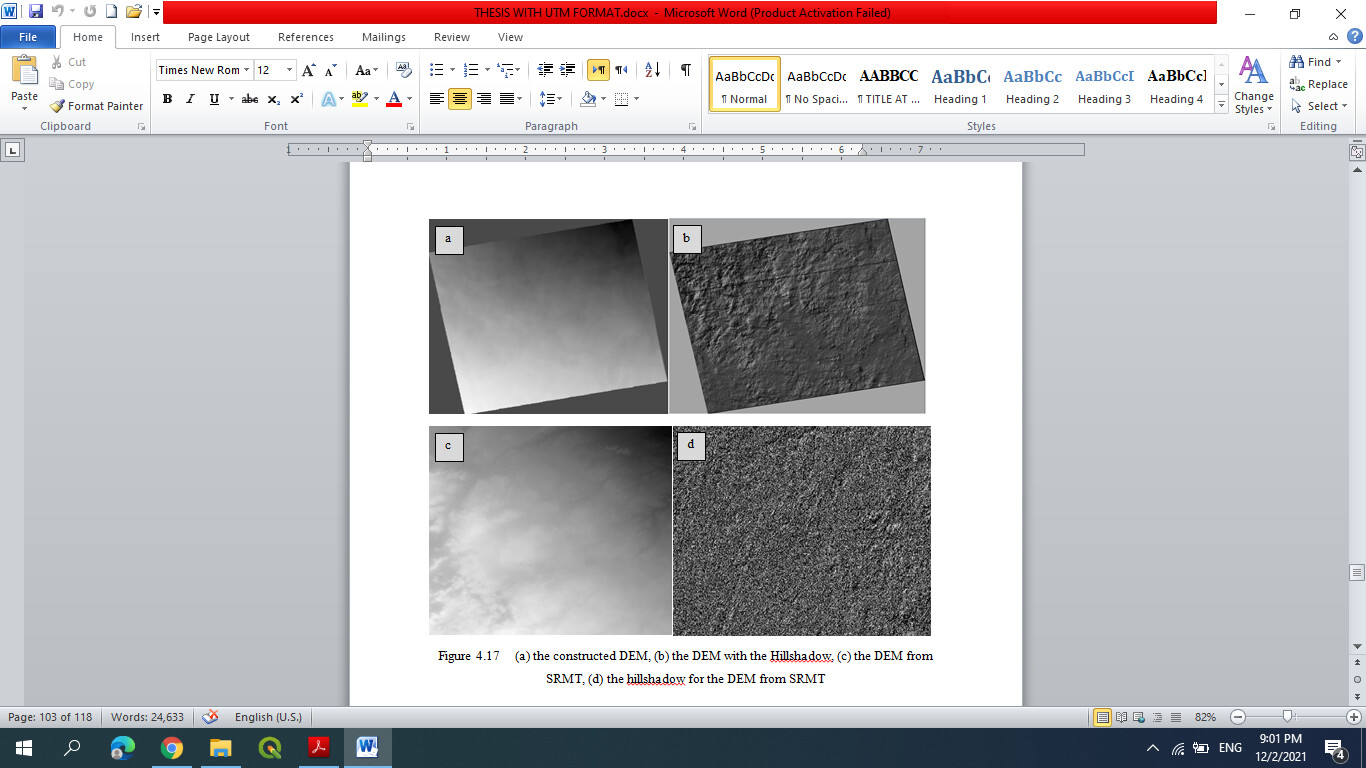
Apologies sir, when I choose the SRTM like a reference height the panels in my proposal defense said the accuracy for the DEM from SRTM is 30m and the accuracy for your DEM is 20m why you compair the high accuracy with the low accuracy 
so please what I do to validate from my DEM. Thank you in advance.
All GCPs mentioned in the different studies were collected by the authors or provided by local authorities. So you either collect them yourself with a differential GPS device or you try to find other persons who are working in the area and can provide independently collected height information.
Well, the spatial resolution of SRTM is lower, but it is of global validity regarding height values. Its horizontal accuracy has been assessed in a large number of studies, so I’d say it can serve as an independent and correct reference to test how well the S1 DEM generation performed. Ideally, the reference DEM is of higher spatial resolution as well.
The Copernicus 30m DEM is also globally available and originates from a 12.5m DEM of the TanDEM-X mission. So using this one would be an even better reference.
In your screenshot, the hillshade for SRTM looks strange…
Thank you so much sir