Excuse me, sir, May I know how I can use the last product in SNAP (create DEM) in QGIS.
Actually, I saw your tutorial (DEM generation with Sentinel-1
Workflow and challenges), but did not understand how I can use Elevation vv in QGIS.
Thank you in advance. 
Did you see this?
Export of products from SNAP
Thank you so much, sir, I will read it.
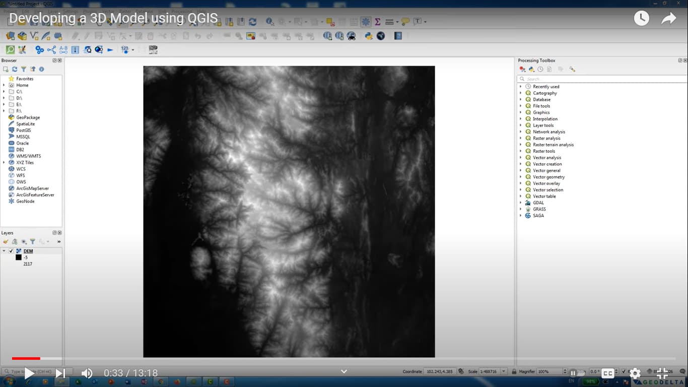
Apologies sir, may I ask you which one from all the images that I created by snap I will export to Geotiff. I mean which one is the DEM. because all the DEM that I saw on youtube is black and white. Maybe this question is a stupid question. but I need to know due I so confuse. this an example from YouTube
none of them. You can directly open the img file in the data folder in QGIS. The symbology is not part of the raster and has to be adjusted manually in the layer properties.
Apologies sir, I did not understand. I want to work with the same site that I created DEM for him.
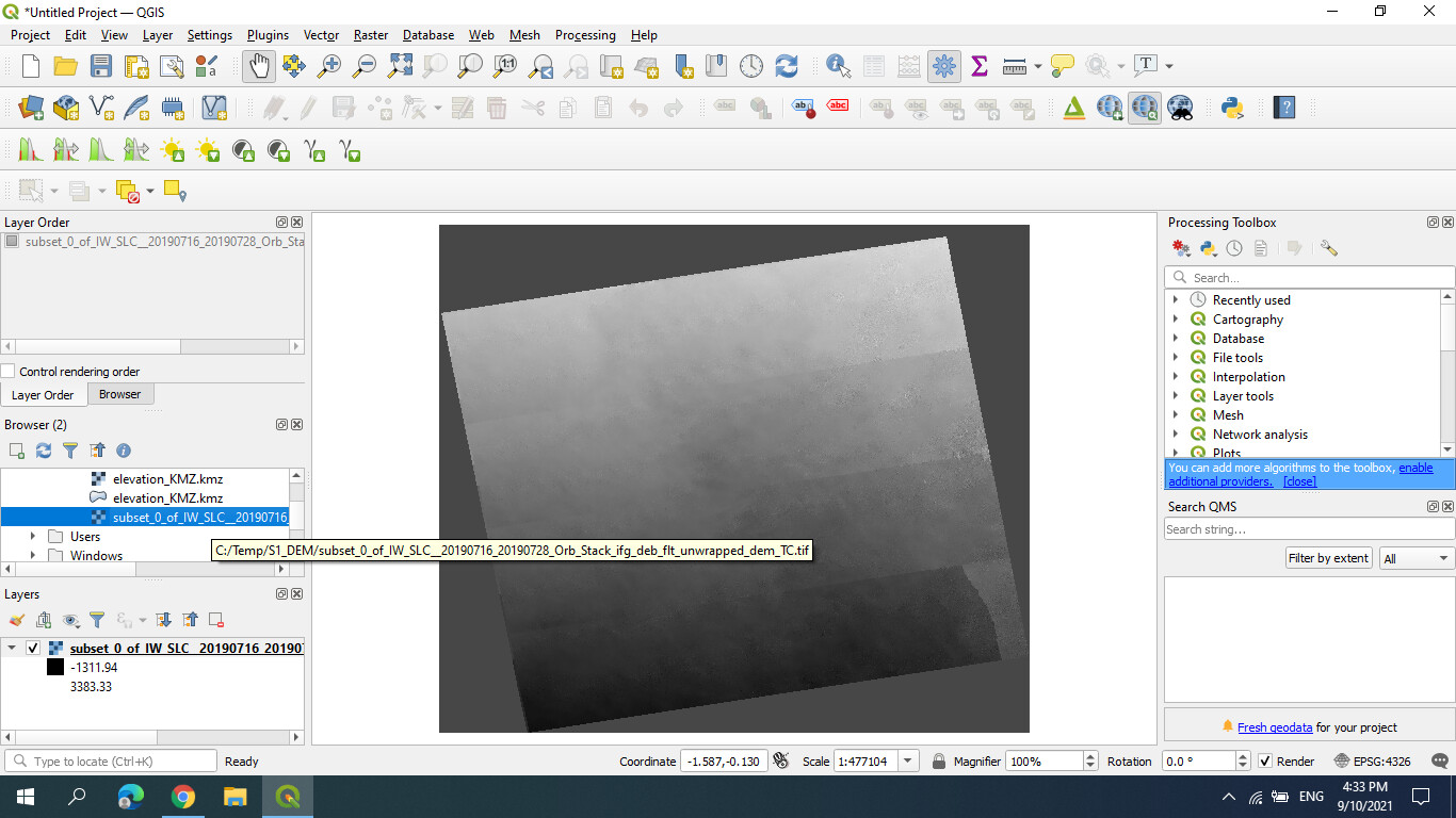
I opened from QGIS as the image here, it is right?
This works, but there is no need to get export it to the GeoTiff format.
Have a look in the folder where you saved the terrain corrected result. It has a .dim file and a .data folder. Inside the data folder is a .img raster file of your created DEM.
This file structure is explained in the tutorial I posted. Conversion to GeoTiff brings the risk of changed pixel values or data types and consumed unnecessary disk space.
In the raster properties in QGIS, there are different ways to define the symbology, also to remove the black border pixels etc.

this that you mean?
The directory is C:\Temp\S1_DEM\ you will find the raster there.

Which one please

Thank you so much sir, Really I am appreciate it.
Apologies sir.
May I ask you how you can calculate the RMSE for the interferogram, please?
This snapshot is from your journal.
Actually, I used the pairs that you give me and the results were so perfect.
But I do not know how to calculate the RMSE for my result.
Thank you in advance.
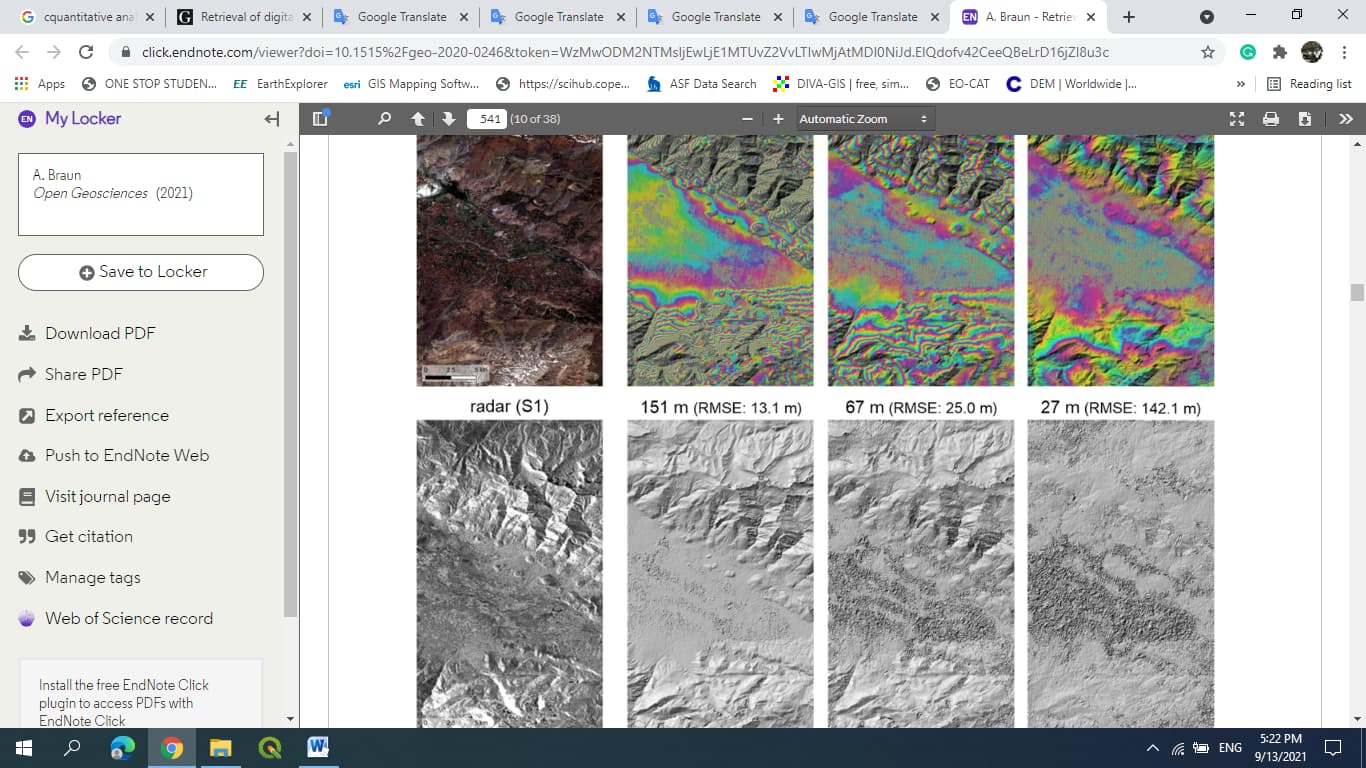
the calculation of the RMSE requires an independent reference DEM, ideally one you did not use for the phase to elevation and terrain correction steps. You can then extract value pairs from both DEMs (e.g. using the Pin Manager in SNAP or the Sample Points tool in QGIS) and calculate the RMSE in MS Excel, for example.
1 Like
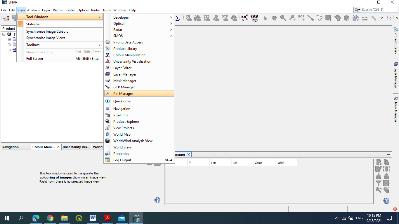
a tutorial on the use of the pin manager is given here: Pins and Spectrum Tool - YouTube
Basically you need value pairs of
- the DEM value you created
- a reference height
The RMSE is then simply the average difference between both: Root-mean-square deviation - Wikipedia
Examples: How to Calculate Root Mean Square Error (RMSE) in Excel - GIS Geography