Hello,
In my new job, my firm is exploring the opportunity to take on a project that involves monitoring landslides at a lignite mining site using Sentinel-1 SAR data. My manager asked if Sentinel-1 could detect subtle ground movements months before a landslide occurs. While I don’t have extensive experience with InSAR, I have researched its methodology and basics. This project is important to me as it offers a chance to demonstrate my eagerness to learn new things and show my potential. My goal with this post is to present my current understanding, seek tips and tricks from experienced colleagues, and ensure I’m on the right track.
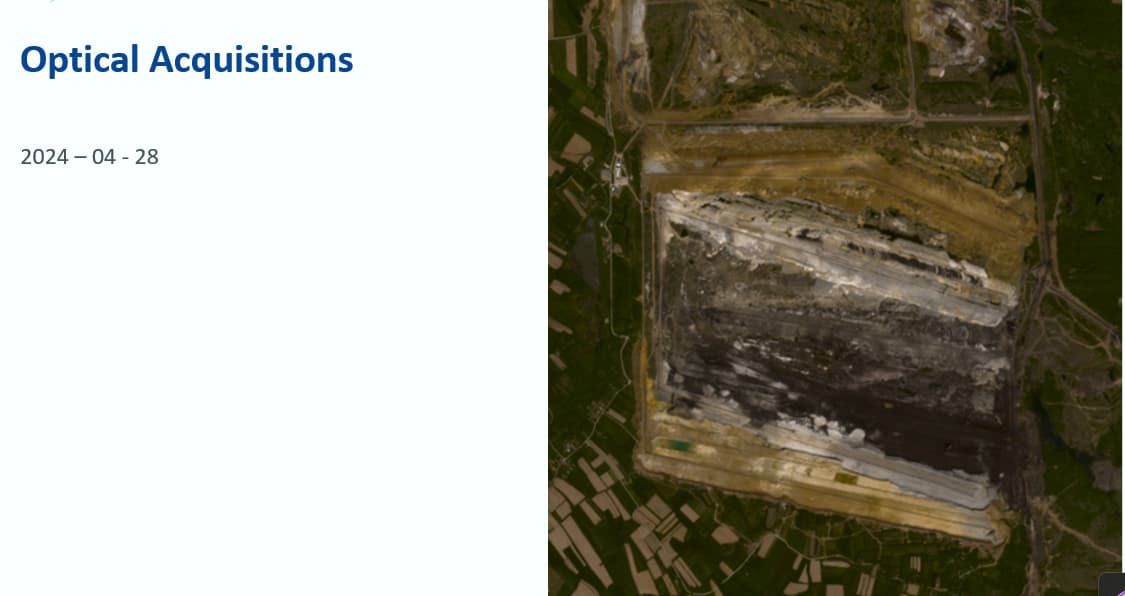
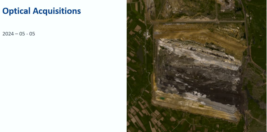
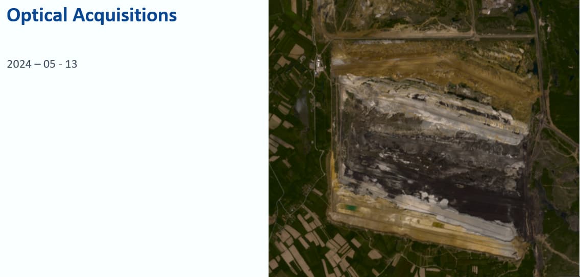
Here is the kmz file of research site:
granica kretanja masa TZP.kml (2.5 KB).

I’m thinking that ascending orbits might be more suitable for this site to avoid shadows.
-
To exploit the phase difference of the acquisitions, my next step is to create a stack containing both Sentinel-1 products. I will do it performing coregistration using the S-1 TOPS Coregistration with the ESD operator to align both images at sub-pixel accuracy.
-
After coregistration, the next step in the InSAR processing workflow is to form the interferogram and estimate coherence. In Interferogram Formation, Subtract Flat-Earth Phase, Subtract Topographic Phase and Include Coherence Estimation should be checked.
-
To remove the seamlines between the single bursts, the next step is to apply the S-1 TOPS Deburst operator to the interferogram product.
-
Interferometric phase can be affected by noise from various sources such as temporal and geometric decorrelation, volume scattering, and other processing errors. To improve the quality of the fringes in the interferogram, the next step is to apply a Goldstein Filter filter. Do you have any tips for effectively applying the Goldstein filter to improve the quality of the interferogram?
-
Multilooking
-
Phase Exporting.
-
Phase Unwraping.
-
Phase Import.
-
After unwrapping the phase to obtain a continuous raster, the next step is to convert the phase information from radian units into absolute displacement measurements using Phase to Displacement.
-
Masking out pixels with low coherence with threshold of 0.6.
I know that in order to minimize the impact of atmospheric phase disturbances and unwrapping errors, analyzing a series of Sentinel-1 images can lead to a more reliable result. But how long should this Time Series should be?
All steps in this tutorial should be repeated for each consecutive image pair to produce a series of geocoded displacement products. I will repeat all the previously outlined steps (from creating the stack to phase-to-displacement conversion) for each consecutive image pair, such as 1+2, 2+3, 3+4, and so on. This should result in a total of n geocoded displacement products.
Questions:
- Do you think that using Sentinel-1 and the InSAR approach is appropriate for this landslide monitoring research?
- Am I missing any important steps or concepts in the methodology that I should consider?
- If there are any errors or improvements needed in the approach I’ve outlined, please let me know.
- How to interpret displacement? I’ve found this formula for vertical displacement (unw_phase * wavelength) / (-4 * PI * rad (cos (incident_angle))) here on forum.
- Would PSInSAR (Persistent Scatterer InSAR) be a more suitable method for this type of analysis compared to the standard InSAR approach? Or maybe Offset Tracking?
- What potential issues could arise with this research site, considering there are no forests around but there might be volume scattering?
Thank you for reading my post. I would greatly appreciate your feedback and any suggestions you have!
Best regards,