Having generated the DEM , how do I view it in QGIS ?
I want to visualize it as 3D elevation embedded on map(3D Visualization) , rather than as heat map as I am able to see currently in SNAP.
Thanks !!!
There is a nice tutorial on 3d visualization of DEMs in QGIS.
https://www.lutraconsulting.co.uk/blog/2018/03/01/working-with-qgis-3d-part-1/
I’m not sure what you mean by heatmap.
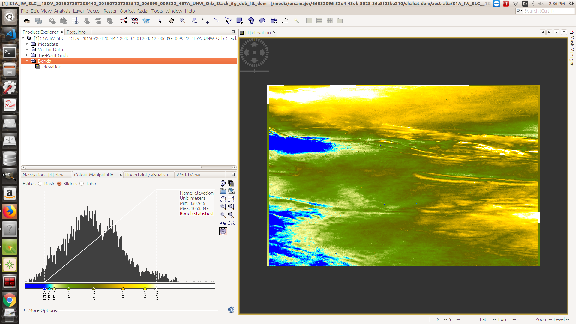
Thanks for the response. By heat map, I mean that after following the manual for DEM generation, what we get is an intensity map/heat map/ altitude as color variation map. I wanted to ask how can I get that embedded on top of map and be visualized as 3D height/elevation over the map.
It would be good to name the tutorial you are referring to - otherwise it’s hard to follow your point.
Actually, it is simply a raster containing the heights derived by InSAR. You can use it in any GIS and drape it over a digital elevation model as shown in the link above.
https://media.asf.alaska.edu/uploads/pdf/current_data_recipe_pdfs/create_a_dem_from_sentinel_1_v1.3.pdf Yes, I should have mentioned it out.
That’s a good tutorial - I didn’t know it so far.
So at which point do you struggle?
That’s the final thing generated from the SNAP.
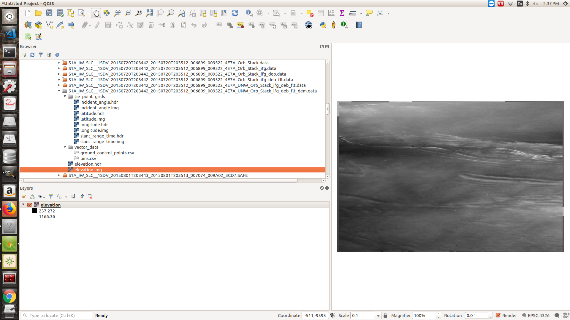
This is while trying to view it in QGIS.
Was stuck at the point as I mentioned above →
you need to apply Range Doppler Terrain Correction first. Until now, your data has no geocoding.
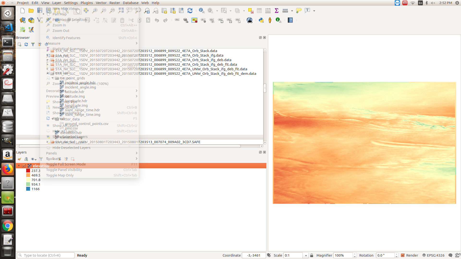
The colors are not automatically exported by SNAP. In QGIS you need to assign a color palette in the layer properties (singleband pseudocolor).
If you have QGIS 3, you can use the 3D module which was described in the link above. Or have a look at this video: https://www.youtube.com/watch?v=2KrCsbP0kUs
If you have QGIS 2, you need to install the qgis2threejs plugin. https://www.youtube.com/watch?v=zo6Eq_ZUC14
Thanks a lot for your prompt responses.
Range Doppler Terrain Correction at which step of the procedure ?
Yeas, how do we get the geocoding ?
I don’t get the 3D Map View Option. I’ve using version 3.something.
step 9 in your manual.
Got the geocoding working. Had missed that. Thanks.
Any suggestions on to missing 3D Map View option ?
It is not supported by certain Qt versions under Linux:
- https://gis.stackexchange.com/questions/272834/missing-new-3d-map-view-in-qgis3
- https://www.lutraconsulting.co.uk/blog/2017/08/06/qgis3d-build/
Alternative: