What is the meaning of View and Sun Azimuth Grid in sentinel2?

Hi there,
When I open the Bands folder of a L1C Sentinel 2 image in SNAP, I see two folders named “sun” and “view”.
Capture
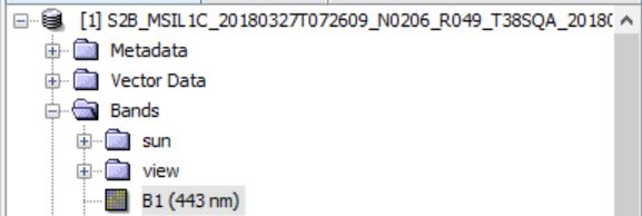
Each one include Azimuth and Zenith angle.
I have two questions:
1- Why does the layer of each file in the folders have only 21 rows and 21 columns? it has much less pixels than the Bands have.


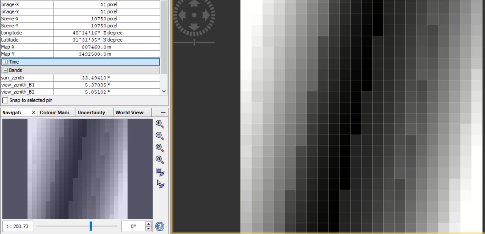
2- Why are there Azimuth and Zenith file for each band? Shouldn’t they all be equivalent?

Hi,

they have less pixels because the spatial resolution is different. For the angles, it is 5000 m while in the bands the spatial resolution is 10/20/60m.

Due to the geometry of the sensor, the viewing angles are slightly different for each band. You can find more info about the sensor on the internet, see for example:

https://earth.esa.int/web/sentinel/technical-guides/sentinel-2-msi/msi-instrument

1 Like