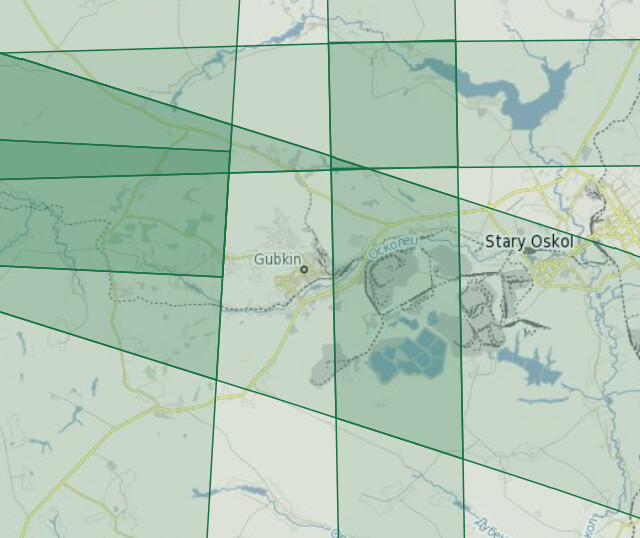
This seems an old question but somehow I cannot find answer on the STEP forum or the Sentinel-2 Products Specification Document… What is the overlap size along track between two neighboring datastrips. (no overlap across track… according to the definition of datastrips, User Guides - Sentinel-2 MSI - Definitions - Sentinel Online - Sentinel Online)
@Jan , thanks a lot for such a quick help! It does help. I guess this 20km is a constant size for the overlap between any two consecutive datastrips along the track? It’s just surprising to me that this value seems not documented anywhere in any Sentinel-2 documents…
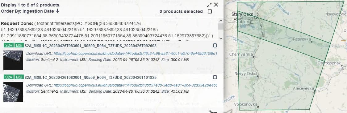
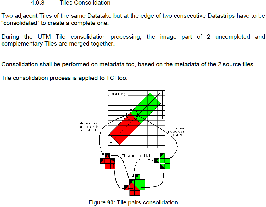
One additional follow-up question based on the data you showed. The two files cover the same tile on the same day but contain data from two datastrips. In the Sentinel-2 Product Specification Document (issue 14.6, publication date 16/03/2021), on page 441, it shows that tiles that cover the edge of two consecutive Datastrips have to be “consolidated” to create a complete tile. See the screenshot below. However, it does not seem the case based on the SAFE files that you find in the Open Hub.
Does this mean we cannot expect that two Datastrips that cover the same tile will be merged/consolidated in this tile? If a small AOI is located within the overlap (20km length along-track) between two Datastrips, we will get two SAFE files that cover this AOI?
Consolidation is something that hs been approached in the past, but - as far as I am aware (I’m no longer directly involved in support to S2) not something that has been included. So the overlap at the end/start of DS’s involves two separate Tiles. I understand that it is possible for Users to merge these two Tiles themselves (I believe I’ve seen a post on here about it); which is maybe why its not being done in the Ground Segment.
Just as a side note, I would note that your PSD version (14.6) has been superseded. The latest version is 14.9. XML Schema Definitions (XSD) - User Guides – Sentinel-2 MSI – Sentinel Online - Sentinel Online has a Table highlighting the PSD history. PSD 14.9 was introduced to support the introduction of Processing BAseline 04.00 in January 2022. It also covers PB 05.09 - introduced in December last year.
Ah thanks again for the follow up, @Jan . Ah I double checked the PSD 14.9, the same description of tiles consolidation exists. So if tiles consolidation is actually not practiced, I hope the PSD can be updated accordingly… Otherwise, it is misleading.
Yes, I can carry out the tiles consolidation myself. Just in our production pipeline, we’d like to know if this is needed for all tiles or not so that we can implement a logic accordingly. Without consistency in Sentinel-2 product format/structure, hard to maintain a robust automatic data processing pipeline…
You could maybe get feedback from ESA on the PSD - and the potential for consolidation - by sending a request to the Services Coordinated Interface (SCI) team (EOSupport@Copernicus.esa.int)