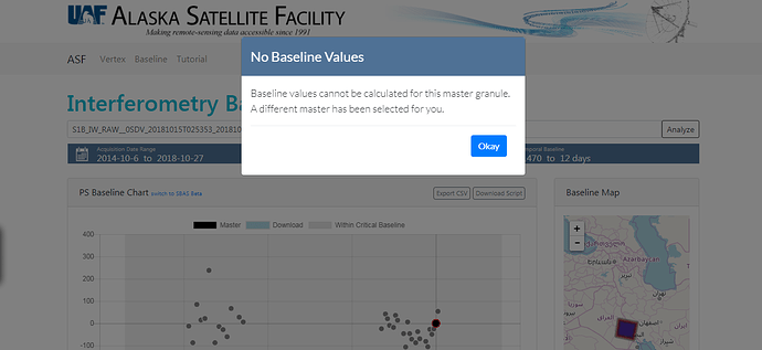
Dear All
I’m trying to make D_InSAR interferogram using SNAP for the application of land Subsidence\Uplift by tectonics \ seismology for my study area using SAR Sentinel-1 Constellation Satellite Images. My area is a very lowland area alluvial Plain. So, my question is how the properties of two slave and master images that would be used on the interferogram analysis of the area such as the (interferometry Baseline, perpendicular baseline, Polarization, Direction Asc\Desc, Absolute Orbit) that effect D-InSAR analysis and when it make a sense results.
I hope you suggest a flowchart methodology for choosing two images slave/master for the land Subsidence applications.
Regard
