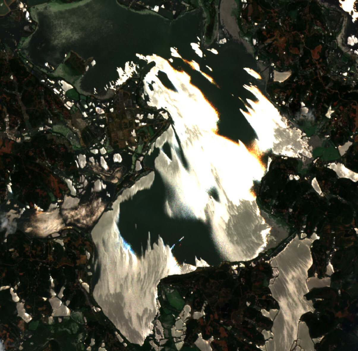
As the figures displayed above, the river and lakes reflect just like mercury in this image. The general information of this image including the sensing time(local time about 11 am) and zenith angle is similar to others under the same location. I cannot figure out what is the problem within this image. Could anyone tell me the reason and what information I can use to distinguish it from others?
The file name of this image is S2A_MSIL2A_20200601T030551_N0214_R075_T49RGP_20200601T071603
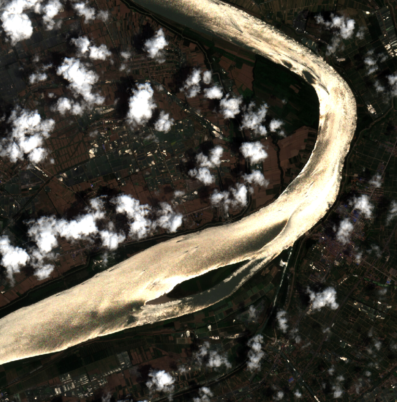
Wind + sunglint?
This seems a likely explanation. OCEA05 Sen2Coral GBR Tutorial has a section on glint removal with the comment that it is best to avoid using images with glint. Sun glint is very common in images from mutli-discipline optical sensors. NASA SeaWiFS was an ocean color sensor that used “sensor tilt” to avoid glint, see Assessment of Tilt Capability for Spaceborne Global Ocean Color Sensors.
1 Like
Cheers mate, thanks for your comprehensive answer. It helps me a lot!
Sorry, you caught me in the rush, I hope gnwiii answer helped you a bit more.
You can find some more info here:
https://www.oceanopticsbook.info/view/atmospheric-correction/level-2/sun-glint