Hello All,
I have exported
1.wind field estimation product as shapefiles, and
2. the corresponding image as 8 bit geotiffs.
without performing any changes to the CRSs. When I open the files in QGIS the layer extents do not match (see image below)
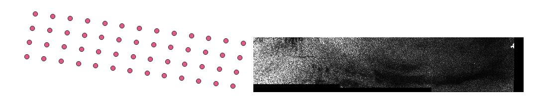
both layers are in degrees (DD), EPSG: 4326.
Any idea about what is wrong in the process?
Thank you,
Liten