Dear all,
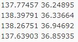
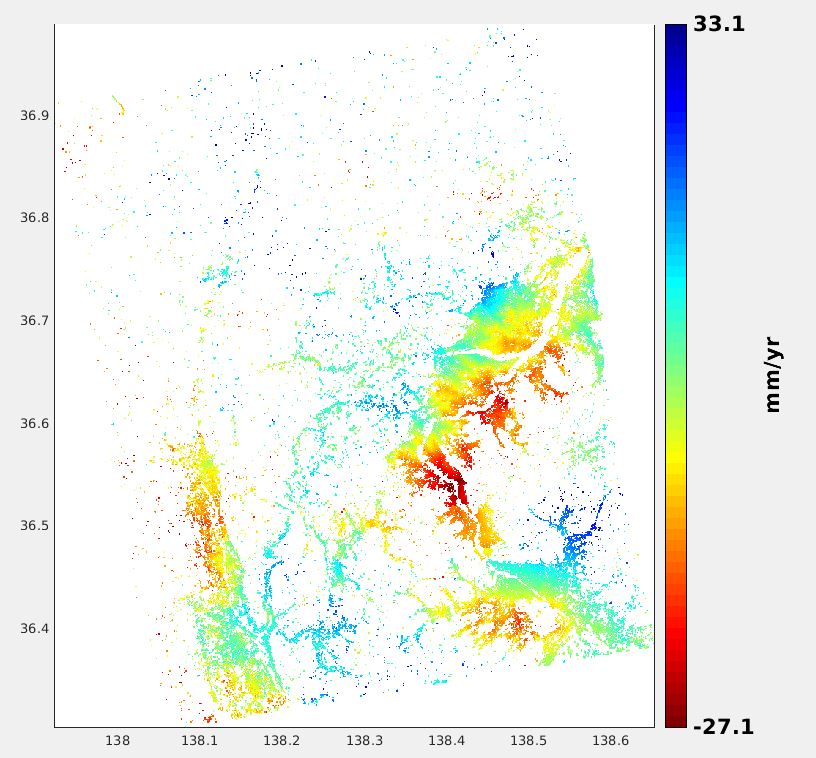
I encountered a strange bug in StaMPS’s final result when processing Alos data by using Snap2StaMPS. It’s that although I got the final result from StaMPS, the Lon/Lat information was not correct compared to the original covering area of the dataset. I want to know if anybody has an idea for this bug. Here is the final result from StaMPS and the original covering area of the dataset respectively.
Cheers