Hello
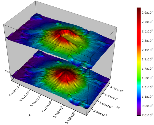
I want to plot a map like this.

So is it possible to extract pixels information from SNAP directly for fall images?
or do SNAP allow to extract a polygon (path) of pixels information?
if there is another method please share it.
Thank you.
Hello
I want to plot a map like this.

So is it possible to extract pixels information from SNAP directly for fall images?
or do SNAP allow to extract a polygon (path) of pixels information?
if there is another method please share it.
Thank you.
SNAP currently doesn’t have a 3D plot. You could export to matlab or some other software that will plot the raster in 3D.
Thank you Mr lveci
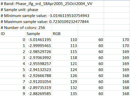
I tried to export my data (Phase_ifg_srd_18Apr2005_25Oct2004_VV) to another format
and I have this as result but it doesn’t cointaine all of pixels just 255 one ?
![]()

and my Subset have 1617X1519
so how to export it ?
If you want to plot the phase data in matlab, export the phase raster to GeoTiff.