I’m not sure if the following answers your question.
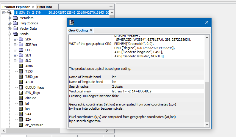
The tie-points are not used to define the geolocation of the product.
Instead the the data (lat/lon) from geolocation.nc is used.
The tie-points and the geolocation are actually not related to the AOT data.
If you want to know more about how the AOT is computed you can have a look at the ATBD.