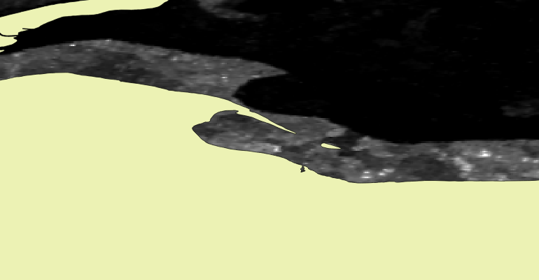
Hello, I am a beginner with SAR and have been experimenting with SNAP and ALOS PALSAR level 1.5 data acquired from ASF. All of the processing steps go smoothly, but I understand SNAP is tricky with level 1.5 data, and to geocode it you need to use the SAR Mosaic tool and only include the file you wish to geocode. Somehow that makes the output file line up wth other data in a GIS. When I do use this method, it lines up very closely, but is slightly off compared to other existing shapefiles/rasters when I zoom in (attached is a screenshot). It is very important for my research that the data lines up precisely with other existing data.
Any suggestions as to what I am doing wrong, and what I can do to correct it?
OP here, I forgot to mention this is with WB1 data from the first ALOS satellite, not the second. The specific file doesn’t matter, as this is a problem no matter what file I use.
you already had a good approach. The work around with the mosaicking currently is the only solution.
But if there is still variable terrain in your image, the geometrical shifts remain. They could have caused the shift at least. Is there much topography in your study area?
To me personally, a shift of around twenty pixels is still too large to be caused by terrain only.
For ALOS 1.5 data I had some good experiences with ASF MapReady: https://www.asf.alaska.edu/data-tools/mapready/
It helps you calibrating, terrain correcting (both geometrically and radiometrically) and geocodin your image.