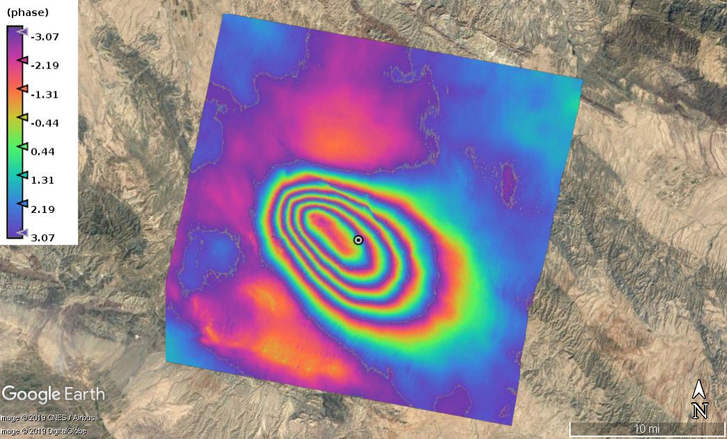
I got the InSAR results in both ascending and descending orbits for my study area and an earthquake happened in that area. I would like to model it using Inversion and Okada. Could anybody please suggest me a good paper with a clear description of this model? I got some papers and read them but unfortunately, they are not very clear to implement and program by myself.
Note that the GitHub code of Ben Thompson has only the MATLAB and Python wrappers for the Okada programs. You have to also download the Fortran code from the link at the GitHub page. The wrappers make it easier to run the programs.
Thank you so much for your great tips. I will try to understand and apply in my case study. Can I ask you to suggest some papers or references which help me to understand earthquake modeling especially using InSAR results? Because I would like to improve my knowledge in this field and also implement in my research.
This paper might be helpful:
Funning, G. J., B. Parsons, T. J. Wright, J. A. Jackson, and E. J. Fielding (2005), Surface displacements and source parameters of the 2003 Bam (Iran) earthquake from Envisat advanced synthetic aperture radar imagery, Journal of Geophysical Research B: Solid Earth , 110 (9), B09406, doi:10.1029/2004JB003338.
This paper is also a good place to start and includes a program implementation:
Feigl, K. L., and E. Dupré (1999), RNGCHN: a program to calculate displacement components from dislocations in an elastic half-space with applications for modeling geodetic measurements of crustal deformation, Computers and Geosciences , 25 (6), 695-704, doi:10.1016/S0098-3004(99)00003-5.
@EJFielding Thank you in advance for your suggestion. I will download them and read as soon as possible. I know that you are very busy but I really appreciate if you let me ask here my questions if I have some misunderstanding after reading them.
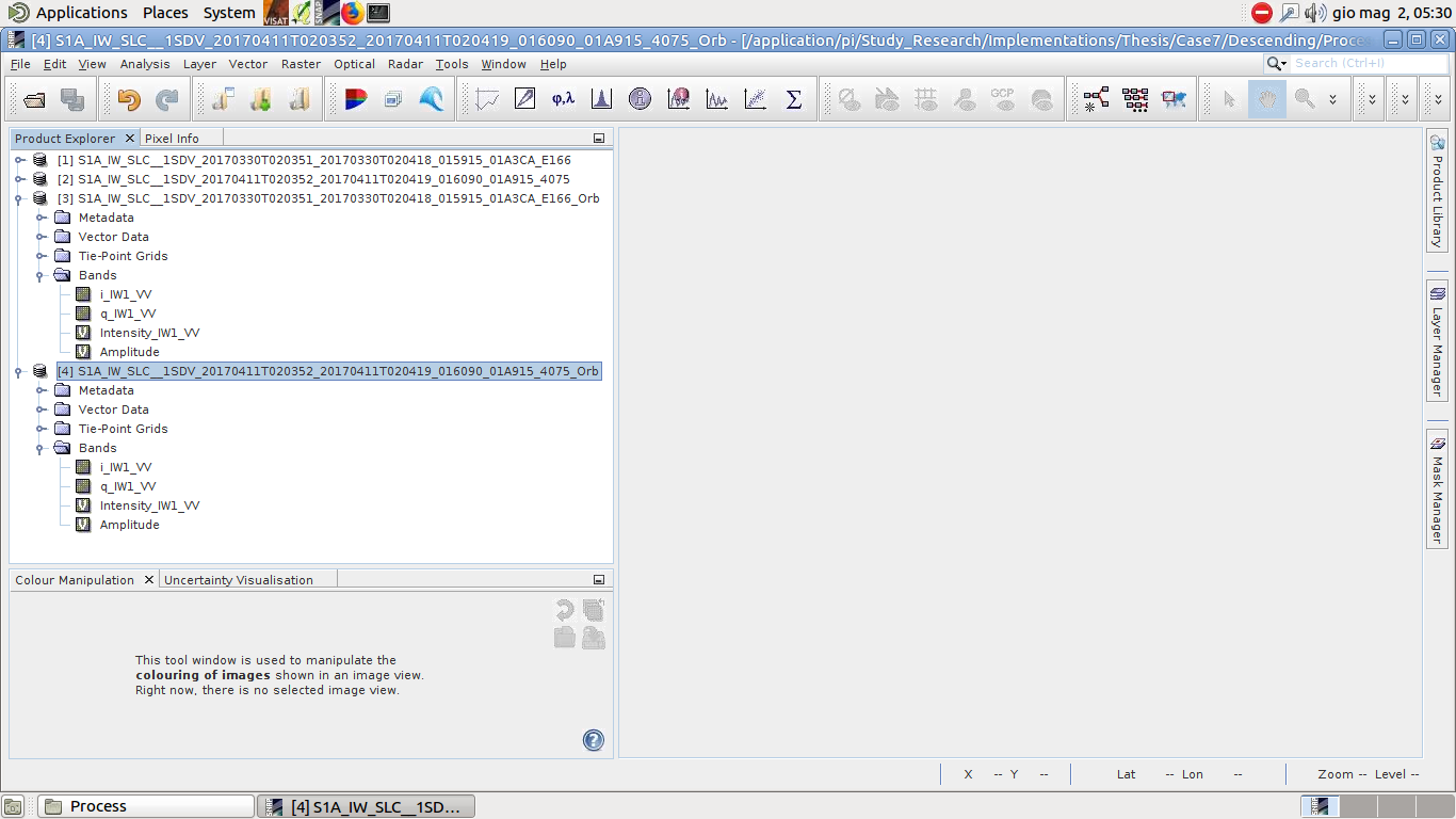
I calculated the amplitude image of two S1 images, which are used to generate that interferogram. I added them to related products as you can see in the following. Whenever I do the coregistration using S-1 TOPS Coregistration option, It ignore the amplitude as a output while I also need to coregister and match the amplitude of two images.
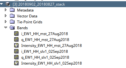
I’m not sure why you need the amplitude but in my case, the coregistration produces the intensity of each image.
The intensity is nothing but the amplitude at the power of 2. Just take the square root of it to get the amplitude. If you plan to use it eslewhere of SNAP, don’t forget to convert the band (so that it is not a band created on-the-fly) and save the product.
@qglaude Thank you so much. I need to have an amplitude to do the following analysis based on the suggested references by Prof. Fielding.
Yes, I know. I generated the amplitude using Intensity and band math in SNAP, after applying TOPSAR-Split and Apply-Orbit-File for both two images. I need to coregister or match two amplitude products in any way to do that analysis.
@ABraun I don’t know. I am reading this reference now.
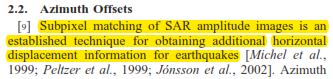
Michel, R., J.-P. Avouac, and J. Taboury (1999), Measuring ground displacements from SAR amplitude images: Application to the Landers earthquake, Geophys. Res. Lett., 26, 875 – 878.
Whenever I get the result and knowledge about this topic, I will share here with you. I found this paper and that technique interesting
@ABraun Thank you so much. I will try all ways and share the results here. As the last question, this tool is only for S1 satellite or we can use for others like Envisat?

 thank you guys for your nice speaking
 but I really appreciate if you let me ask here my questions if I have some misunderstanding after reading them.