Anybody knows, how to build horizontals on elevation marks from the S1?
can you please explain a bit more specific what you mean? Hard to understand without any context.
I’ll try 
I need to estemate the elevation terrain. This can be done using a digital elevation model (the Elevation channel):
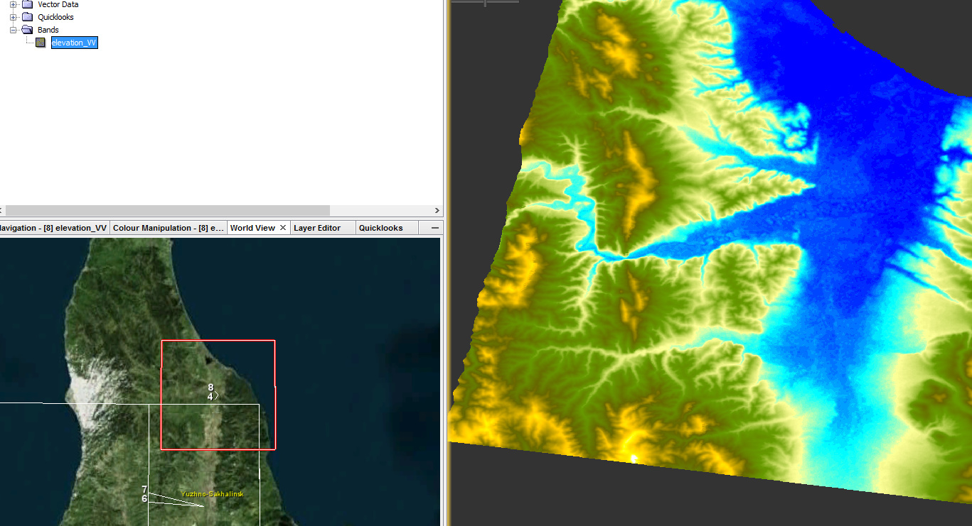
But it’s not convinient and presentable to get the elevation of each point from the tab “Pixel info” in SNAP.
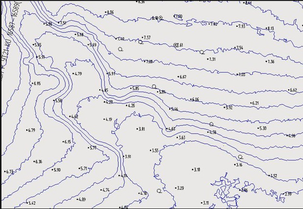
Saying “horizontals on elevation” I ment smth like that:
It doesn’t matter what kind of result it would be - raster or vector.
Hope, I could explain.
as far as I know SNAP cannot produce contour lines but you could easily derive them in QGIS.
As for the DEM generation. This is a quite comlicated procedure and it requires a bit of basic theoretical knowledge:
The basic steps are coregistering, interferogram formation, unwrapping of the interferogram and phase to elevation conversion. You will find many topics on this in here:
Thank you so much!