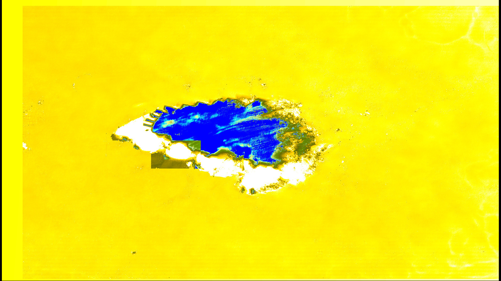
This is my DEM elevation display:
This is my Snap module display:
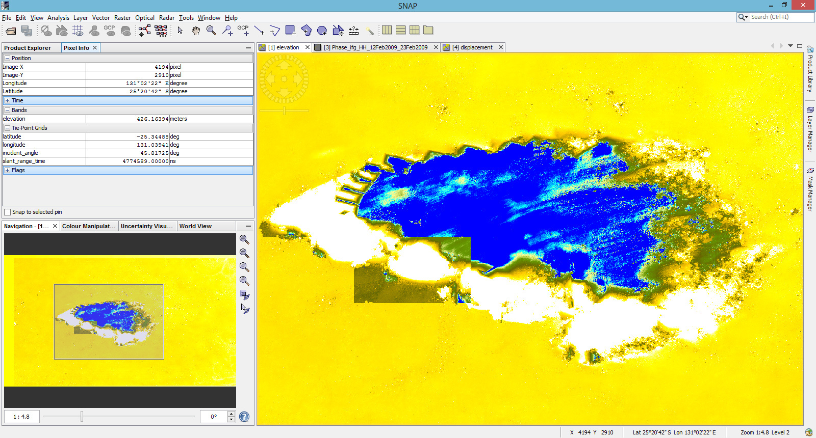
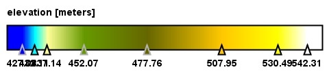
This is my DEM Legend:
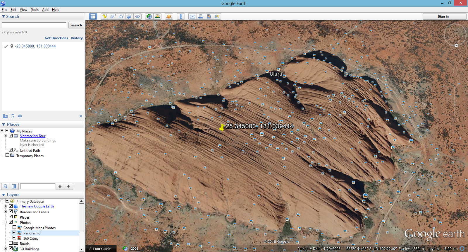
This is the Google Earth Display
The Work I have done:
- Input the two master-slave image.
- Perform Coregistration
- Form the interferogram
- Remove the Topographic Phase
- Phase Filter
- Export to Snaphu
- Import Snaphu
- Execute Phase to Elevation
Platform used:
- Windows 8.1
- SARbian OS (Debian)
Software used:
- Snap 5.0
- Google Earth
Problem:
After processing the above steps from -
http://sentinel1.s3.amazonaws.com/docs/S1TBX%20Stripmap%20Interferometry%20with%20Sentinel-1%20Tutorial.pdf
with default values and successfully executing snaphu I have obtained the dem file. Now when I opened the Google Earth and entered the coordinates to check of the same point, I found that there is error. For eg, the value in the DEM file is showing 421 m but in the same point in Google Earth its showing 830 m.
Not only that, it was surprising to see that the values are showing same on the base area (For eg. Yellow region). But for the hill area or elevated area its showing different result. A small change in the value is accepted as in Google Earth page its written that the value is not always accurate. But deviation of 400 m is a big deviation. So can anyone tell me whether its a software error or not?
