I am trying to use the Envisat ASA WSS products for large-area processing using the old Envisat products, but I am getting in troubles to reach my objective using SNAP.
Had any of you successfully processed interferograms using that data and SNAP? or NEST? @marpet@lveci , any clue?
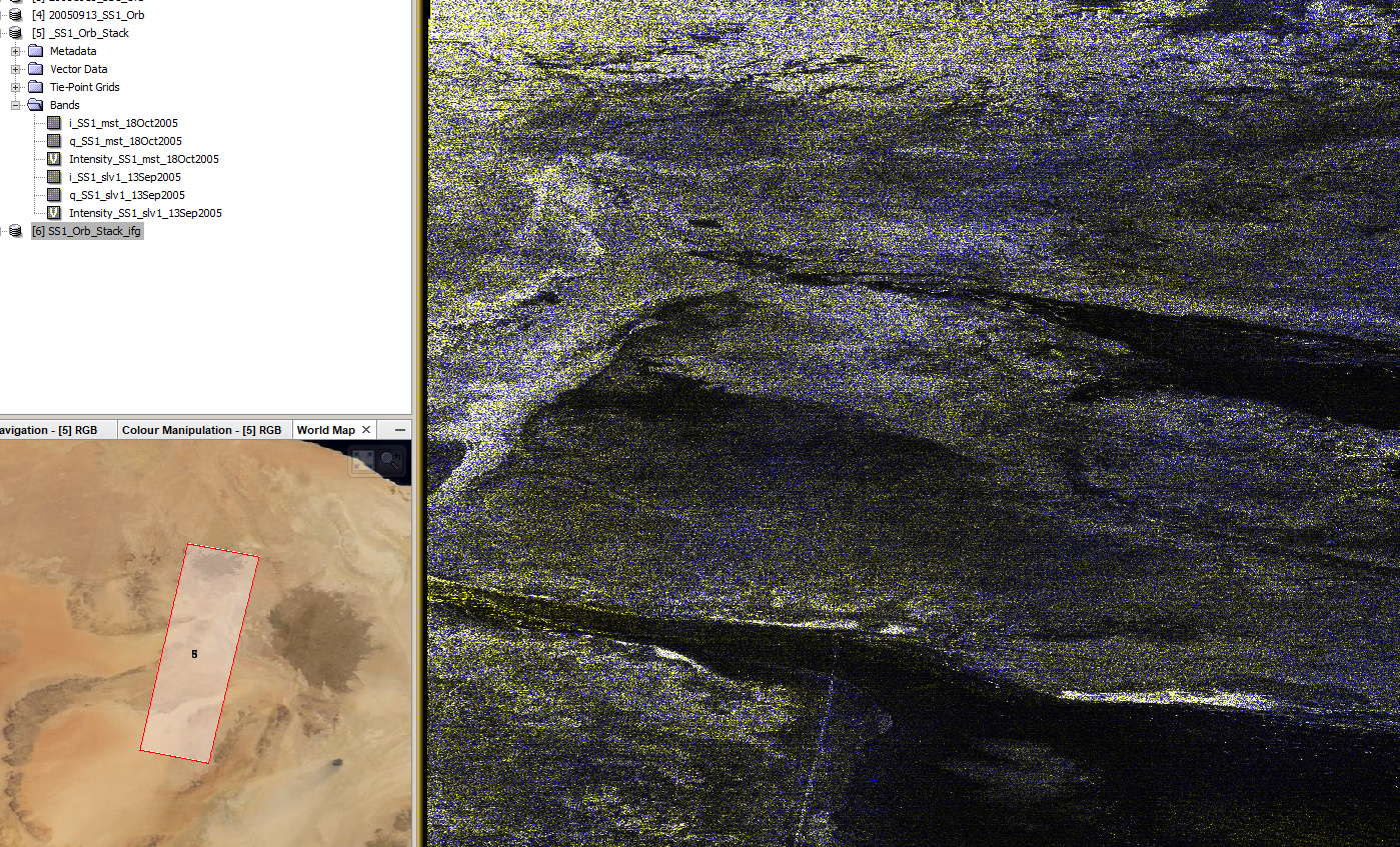
I do not like it much the fact that I, either I have done DEM-coregistration or standard coregistration for a single subswath SS1, the slave seemed few pixels shifted.
The cross-track baseline is not the only factor for ScanSAR-ScanSAR interferometry. You also need good along-track burst alignment to get adequate InSAR coherence. The Envisat satellite was not designed for ScanSAR burst alignment, but they did make an effort to improve it starting around 2008, if I remember right. This does not mean that every pair has good burst alignment.
We published a paper on ScanSAR-ScanSAR interferometry with the ALOS-2 “full aperture” products, which are somewhat different from the ESA WSS products. https://ieeexplore.ieee.org/document/7857102
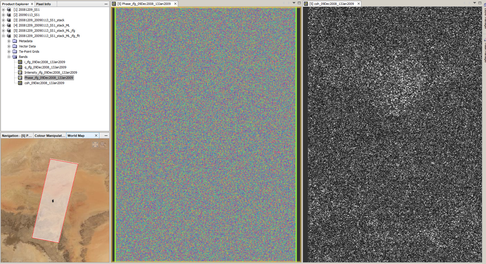
I tested it with a pair of 93% burst alignment and the coregistration was notably better (and faster).
Yet, the interferogram looks wrong (no fringes, even over arid desert areas) and I think SNAP cannot handle ASA WS data correctly. I would have expected at least some fringes.
ASAR WSS InSAR should work but it has not been trested for a long time. @jun_lu coud you take a look?
ps. I think a sandy desert can be a very challenging target due to very low backscatter values and very large amounts of volume cdecorrelation in dry sand.
Well, if the desert area is not contaning big sandy layers such as a sand field, a desert area should be ok. An example could be the Bam Earthquake mapped using Envisat ASA WSS (https://www.gamma-rs.ch/uploads/media/2006-1_ASAR_ScanSAR_Interferometry.pdf ) and ASAR IMS (basic example for Earthquake mapping)
I am in fact trying to process Bam using the ASAR WSS, but without much luck for the moment.
@ABraun, let me know if you have identified a valid pair over urban area. Thanks!