I am trying to export Sentinel-1 incidence angle values per pixel, so I can derive vertical subsidence from two SBAS results arranged in the STaMPS Visualizer format.
Ideally I would like to export this information from SNAP to a gird containing pixel coordinates and incidence angle value, so I can use it as input to a python script.
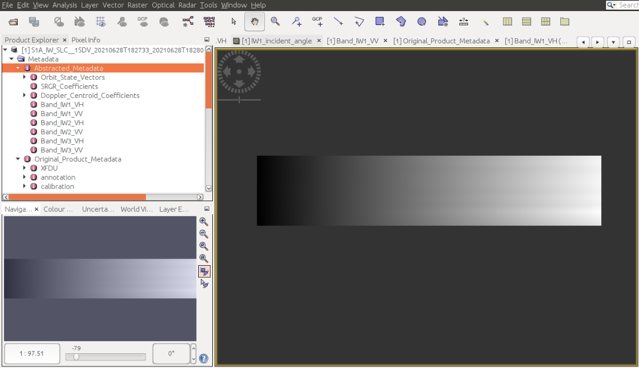
if you have the displacements in csv format with lat/lon, it would make sense to calculate the local incidence angle which includes topographic variations as well. The one you show is just the global incidence angle assuming flat topography.
To get the local incidence angle as a grid, you can apply Range Doppler Terrain Correction on your data, select WGS84 as output coordinate system (already predefined) and include the local incidence angle in the output (there is a checkbox for that). You find it inside the .data folder as LocalIndicendeAngle.img which is fully GIS compatible. You can then interesect it with the CSV values using a GIS or python.