Thanks ever so much for this wonderful tool and the forum.
When I export a single-band image to geotif, there is a problem with the spatial reference. In subsequent processing, for example, when reading with the readgeoraster function of matlab, it shows that there is no spatial reference. However, there is no problem when I export geotif with the same data file in the previous export process. I tried a lot of different data and also tried to process it with different computers. This happened. What is the reason? How to solve it?
Thanks
Lisa
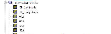
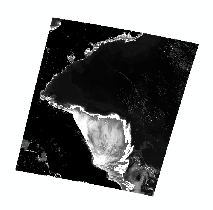
there just tie-point grids in the file. And the output picture which uses latitude and longitude in the product before atmospheric correction is fan-shaped,sorry, i don’t know how to describe it
open the Band Maths, name the new product latitude, uncheck the “create virtual band option”, then write “TP_latitude” in the expression editor and confirm with ok. This will create a new raster under “Bands” which contains the same information. Select File > Save product to make the changes permanent. You will then find latitude.dim in the .data folder and you can load it into Matlab.