Studying ice-shelves in Antarctica, I have to use an external DEM, in particular the “famous” Bedmap2" ( which contains geotiff surface elevation files) to perform Differential Interferometry.
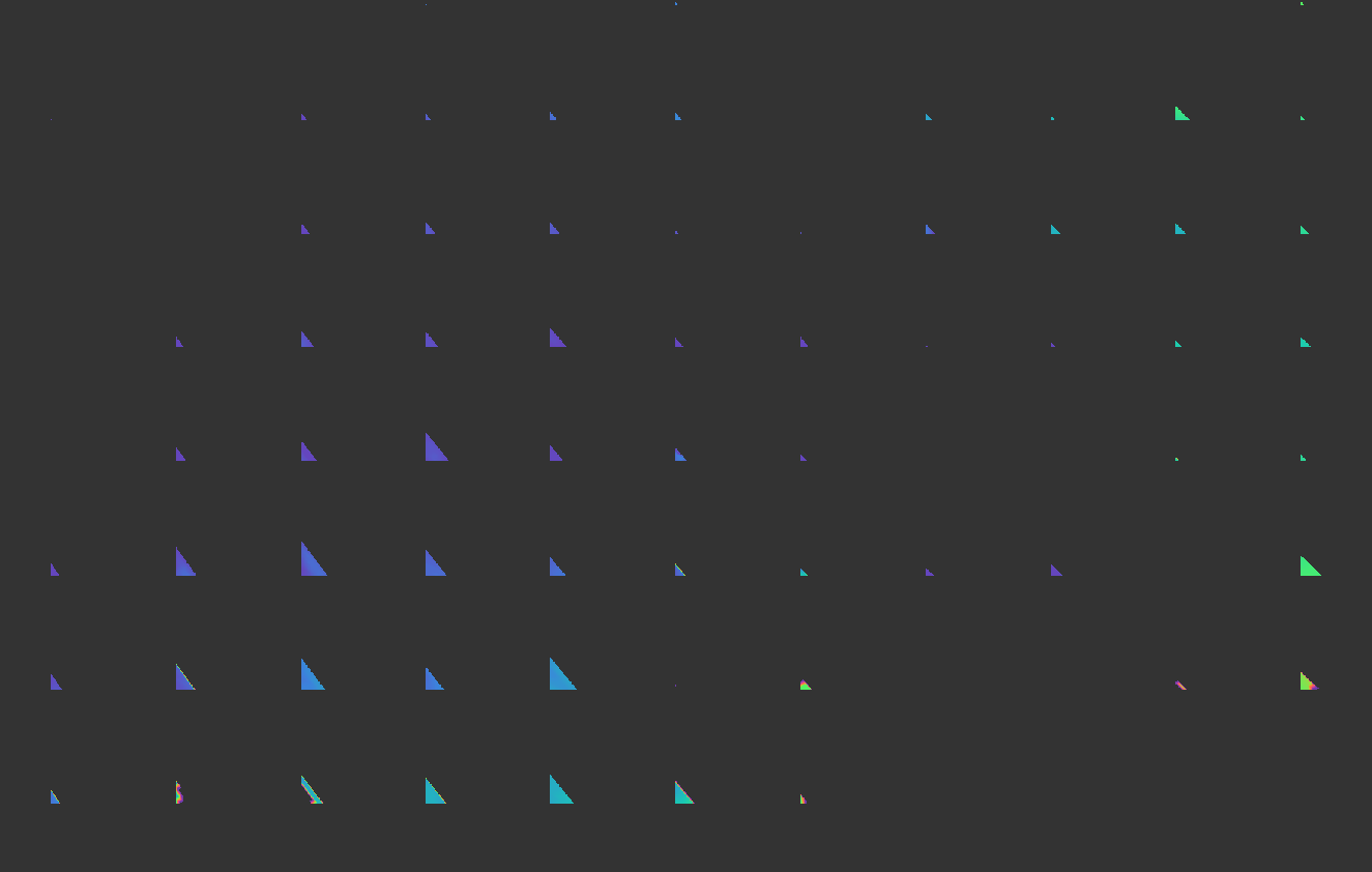
When using the Topographic Phase Removal, I encounter “no issue” but looking at the files, i observe that the topographic phase is computed only a regular grid with strange triangle-shapes.
I don’t really understand what I did wrong.