For at least some products, the footprint is larger than the actual part with data. This leads to products being found on catalog queries, while there is actually no underlying data.
An example is with this product:
S1A_IW_GRDH_1SDV_20200218T194409_20200218T194438_031311_039A41_9C8E.SAFE
When querying with the extent of Sentinel 2 tile 55KEB. Which returns said product:
https://catalogue.dataspace.copernicus.eu/resto/api/collections/Sentinel1/search.json?box=146.99981183146735%2C-17.273397152001767%2C148.0327958954463%2C-16.278338896751816&startDate=2020-02-18T00%3A00%3A00Z&completionDate=2020-02-19T00%3A00%3A00Z&maxRecords=1000&dataset=ESA-DATASET&polarisation=VV%26VH&sensorMode=IW
Same for the new STAC collection.
Visually:
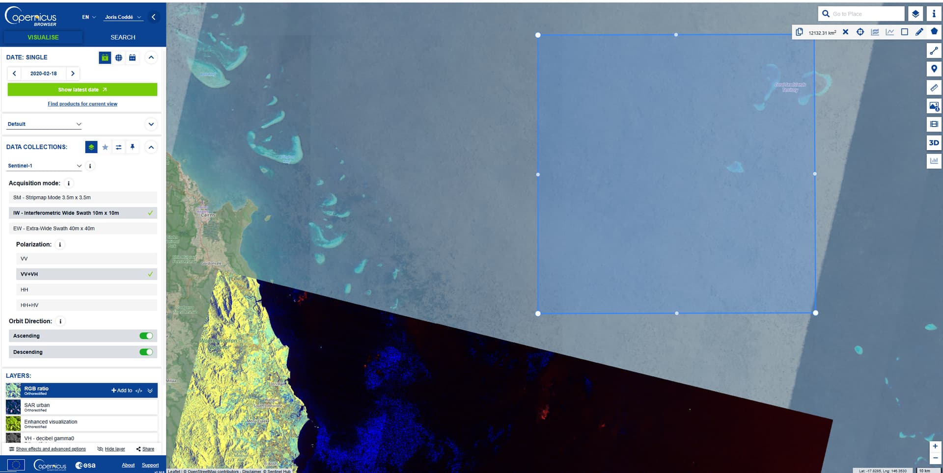
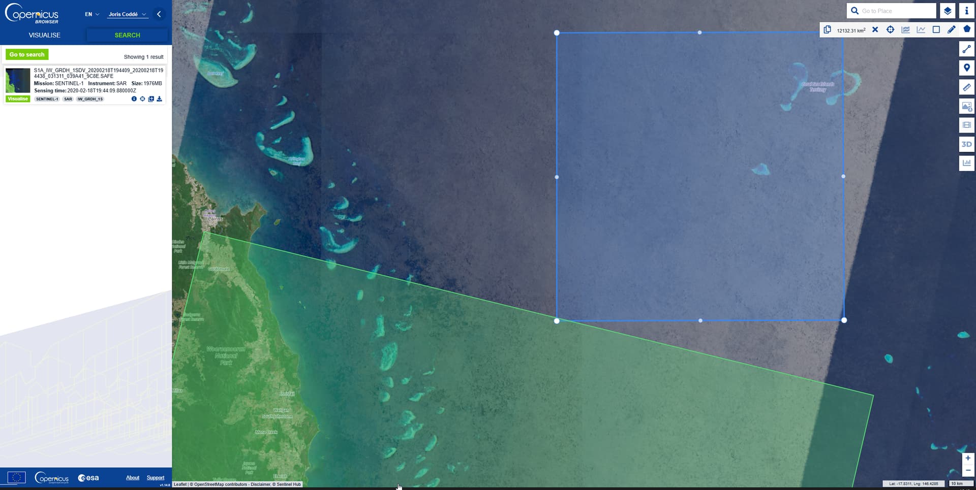
Link: Copernicus Browser
Similar issue posted, but it’s less documented: Sentinel-1 quick view footprint larger than the real data
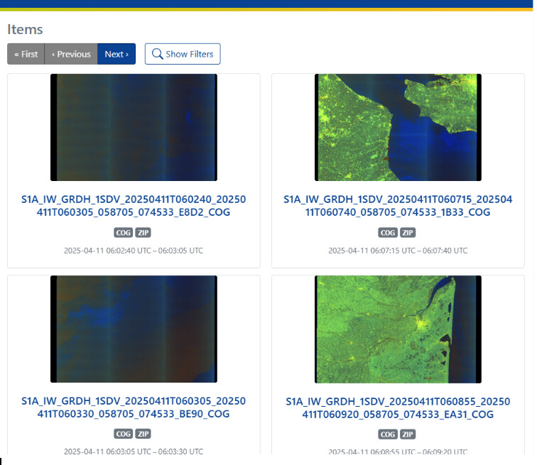
While both the example here and the post linked are for older products, we have seen the same issue with newer products. This is visually apparent when browsing the CDSE STAC collection: Copernicus Data Space Ecosystem (CDSE) - STAC API