Hi all
I have a problem concerning the geometric correction of the terrain of the C2 matrix which is extracted from Sentinel-1 data under PolSARpro, if anyone has an idea on this thing, please share it and thanks in advance
Please describe your problem.
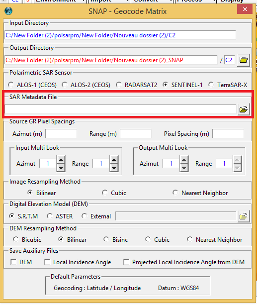
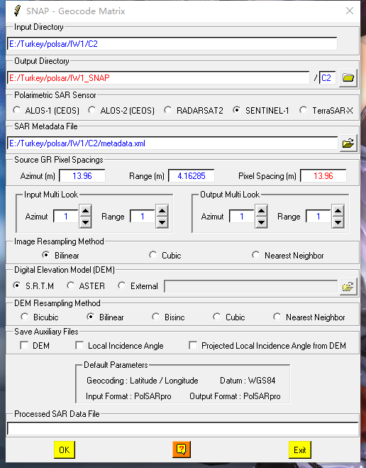
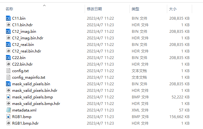
inside the folder of your C2 matrix, there is a file metadata.xml which was created by PolSARpro
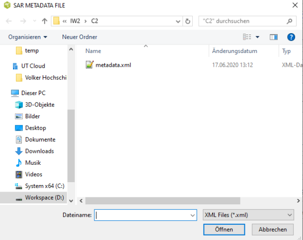
if I select this for S1 products, the geocoding of C2 matrix works
I tried to do this But they said that this file is not compatible, ok thank you Mr Braun, I will try another time and I answer you
have you correctly extracted the C2 matrix?
good evening mr Braun
I want to know if it is possible to import geo-referenced C2 data already in SNAP in PolSARpro, because my final objective is to extract some polarimetric parameters, and not geo-referencing
This does not work so well. Have you seen the polarimeric tools in SNAP?
Ah yes I understood the environment of SNAP, concerning the polarimetry PolSARpro is richer than SNAP, So Mr Braun is it you can share with me a tutorial how to make the ground correction in PolSARpro, thank you in advance Mr Braun
These were the steps I undertook to geocode it.
- Extract the S1 zip file
- Set the folder as working environment
- Select Sentinel-1 unzipped in the Import menu
- Extract the data (I used 4x4 multi-looking to save time for testing)
- Convert S2 to C2
- Run the Geocoding of the C2 matrix
It is important that the connection between PolSARpro and SNAP is correctly configured.
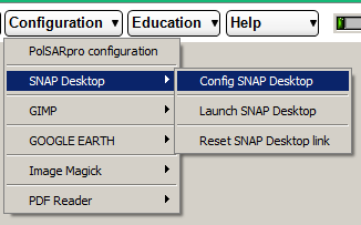
Please see the instructions here: Help installing PolSARpro software step by step on detailed on the windows 7 system
Really thank you very much Mr Braun for your effort that you made, I will try to work through the steps that you give, and I answer you 
Hello Mr Braun and Polsarpro users,
Good morning, I have a problem with geocoding on Polsarpro.
When I processed the Sentinel1A SLC data, I followed the relevant steps to generate the C2 matrix (i.e., input S1 SLC—>extract data, multilooking 1*5, C2—>get C2 matrix).
However, a error happended when geocoding the C2 matrix, the running time was too long (exceed one day). I tried to import the dem data from outside to re-run, but an error was reported at this time. The error is as follows.

How to solve this problem, and run the geocoding successfully?
Looking forward to your reply. Great thanks!
can you please make sure that all updates of SNAP are installed? There was a problem with downloading SRTM data lately, but it was fixed with the internal updates. Afterwards, the terrain correciton using the SRTM auto-download should work again.
Hello ABraun,
Great thanks for your reply!
The installation of SNAP is performed by the .exe I downloaded on the Snap official website.
![]() There is basically no change during installation, except that the installation address has changed.
There is basically no change during installation, except that the installation address has changed.
About the problem of downloading SRTM data in geocoding, I used the same steps and selected ASTER GDEM as dem data, then geocoding can run normally and get the final geocoding result.
Therefore, I want to know two aspects, one is what Mr Braun said “it was fixed with the internal updates”, how should I do it? (About half a year ago, I was able to geocode with SRTM using polsarpro 5.1, but now the same S1 SLC SAR data cannot be geocoded.) ;the second is how much impact does the use of ASTER GDEM for geocoding results?
Looking forward to your reply! Great thanks for your reading!
With the exe you install the latest version 8 of SNAP. Still, there can be small updates which are not included by this installer because they are not part of it yet.
Therefore, please start SNAP and select Help > Check for Updates.
Then the software does the rest, including fixing the problem with freezing operators related to SRTM data. A process related to digital elevation models is taking forever to finish
Besides that, I recommend using PolSARpro BIO, which is the latest official version: https://step.esa.int/main/download/polsarpro-v6-0-biomass-edition-toolbox-download/
Hi,Mr.Abraun.When I was in the Extract the data step, it prompted me to say that there was a problem during the geocoding. I tried to reinstall polsarpro6.0, but still no. I would like to ask what is the cause of this? Thank you.
sorry, this is rather unspecific - I don’t know the cause of the error.
Mr.ABraun,my first step was import→Sentinel-1 A/B →zipped Data product,and it create C2 folder successfully.
The second step was Utilities→SNAP S1 TBX→Geocode [C2] matrix.I chose the Sentinel-1 and input the metadata.xml into SAR metadata File.Then I click the Ok to run this step,it would tell the mistake(a problem occured during geocoding)
how should I do it?
Thank you for your reply.
Best wishes
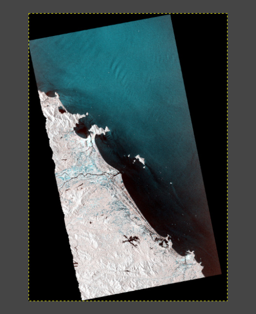
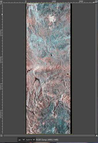
were you able to display the C2 product before geocoding? Does it look alright?
