Hi,
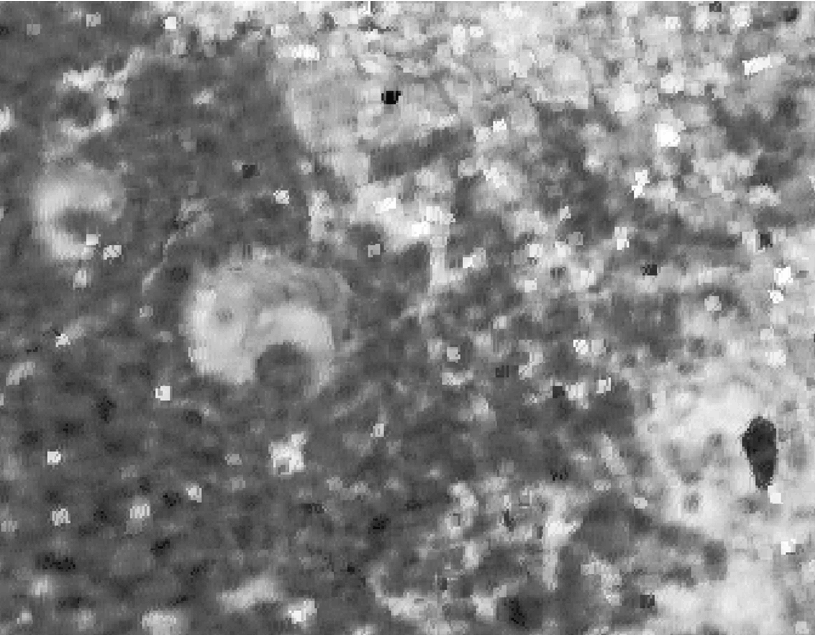
I have derived two coherence layers from 2 interferometric pairs which have the same acquisition geometry (asc orbit, same relative orbit). The processing steps are the tipical InSAR chain (orbit correction, interferogram and coherence generation, phase filtering, unwrapping, phase to displacement and geocoding to UTM).
When I compare the two geocoded coherence layers, I see there is an horizontal shift and cannot understand where this is comming from. What can be the cause of this? Which step is introducing this? Thanks