I submitted a pull request some weeks ago that adds the image grid alignment functionality described here and this has now been incorporated into SNAP since version 5.0.4.
This functionality is currently only accessible through the graph processing interface (GPT). Set the following parameters in the Terrain-Correction operator to use it:
<alignToStandardGrid>true</alignToStandardGrid>
<standardGridOriginX>0</standardGridOriginX>
<standardGridOriginY>0</standardGridOriginY>
The alignToStandardGrid turns this feature on/off (off by default) and the standardGridOrigin parameters specify the origin point in the output CRS that the grid will always intersect with (defaults to 0,0).
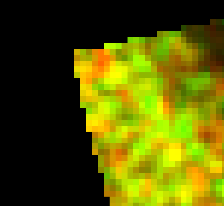
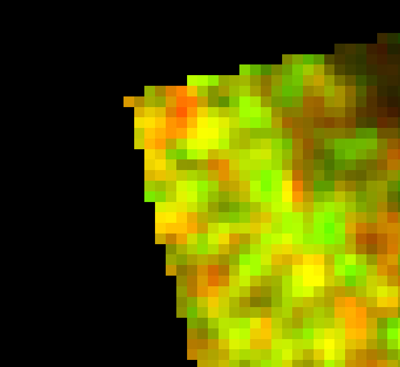
A quick demo using the output from two separate S1 images
Without aligning the image grids (the default).
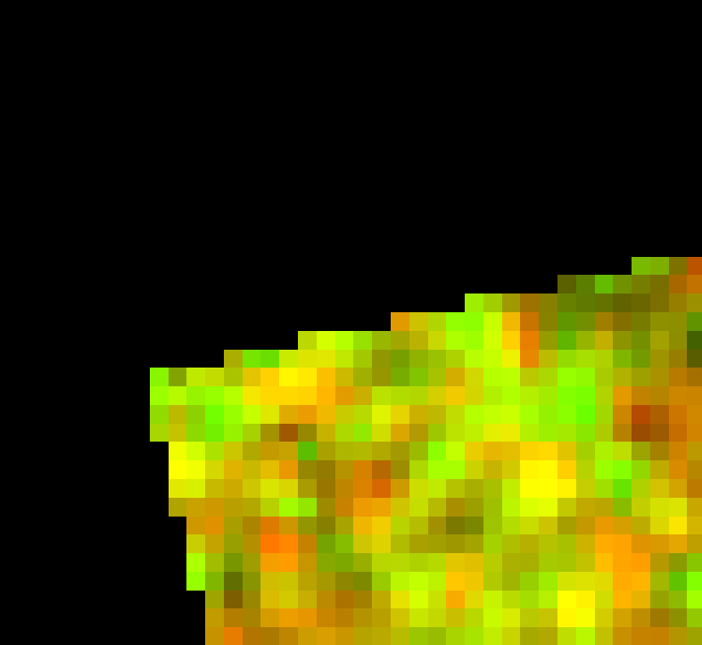
With the grids aligned.