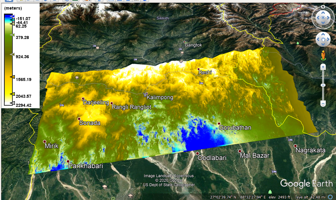
I have generated DEM from Sentinel InSAR data. It gives relative heights (Data have negative elevation). I just want to know How to get the actual absolute elevation of my study area from this DEM.
I have attached the DEM file
.Here the elevation shown in the map is less than the actual elevation. So many places show negative elevation. Please tell me how to get the actual elevation of the surface
vegetation leads to temporal decorrelation, this leads to bad phase quality, this leads to unwrapping errors. Please read the discussion on InSAR error sources in the tutorial I mentioned above.
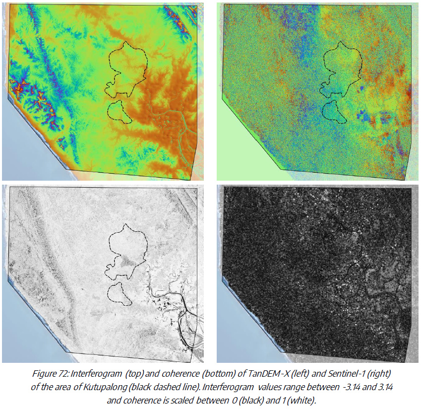
Maybe I can clarify with this figure: On the left, you see an interferogram of a bistatic TanDEM-X image pair (two images acquired at the same time). This is how an interferogram must look like for the correct and reliable extraction of elevation.The coherence is high throughout the image with some lower values at backslopes and the lowlands along the coast. But the phase variation is strongly linked to the topography of the area.
On the right, you see an interferogram of the same area, but with Sentinel-1 images (6 days apart). It contains no topographic information (because of temporal decorrelation and a comparably short perpendicular baseline of 65 meters). The coherence is accordingly low and the interferogram variation is not related to topography. No valid DEM can be derived from such data.
Actually I want to find the tree height from DSM generated from Sentinel data. I have the DEM of my area. But I am getting so many negative elevation values. How to remove this error?
Personally, I don’t think this is possible. Vegetation leads to decorrelation of the phase and I have not seen a singly study which successfully retrieved a digital surface model of vegetated areas.
Have you seen these tutorials on InSAR? They discuss the impact of vegetation on phase quality.
this error cannot be removed, it is in the data. The workflow is correct, but the data is bad.
I have merged your topics into one.
Please have a look at the documents I have posted above. You find answers on why there are negative values and what is the cause. You cannot extract canopy heights from Sentinel-1 data because of the decorrelation of the phase.
What is the most accurate resolution of the DEM generated from the Sentinel-1 InSAR pair? It is needed as I have to give the info in Geometric terrain correction.