Does anyone know how I can map Sentinel 1 SAR data to the same coordinate system as Sentinel 2 data using SNAP or a python library? My aim is to eventually crop the same subset location between the chosen S1 SAR and S2 data products.
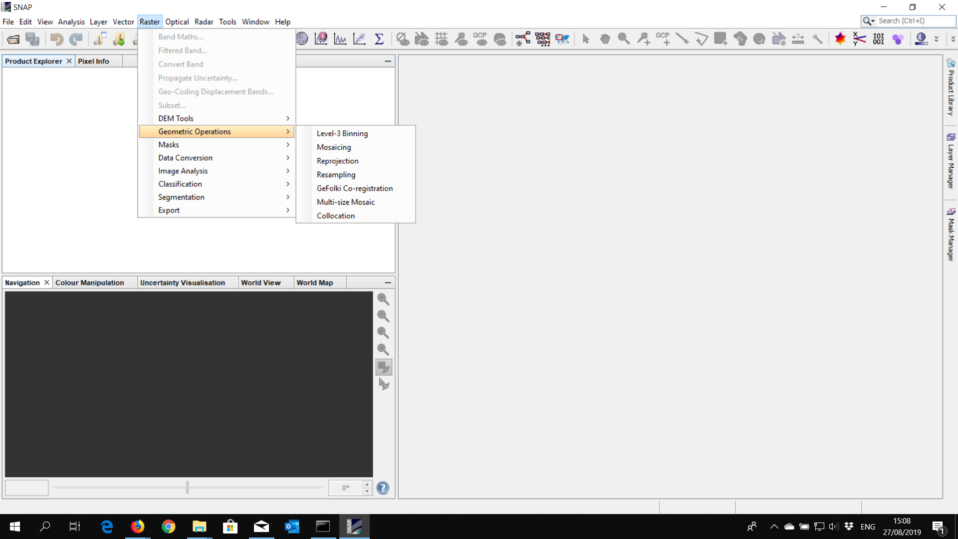
Apply reproject from Raster tab —> Geometric Operations —> Reprojection
In snappy you could Reproject your data,
Take a look at this thread,
And in python, nice example in here, Reproject Raster Data Python
Source : Redirecting…
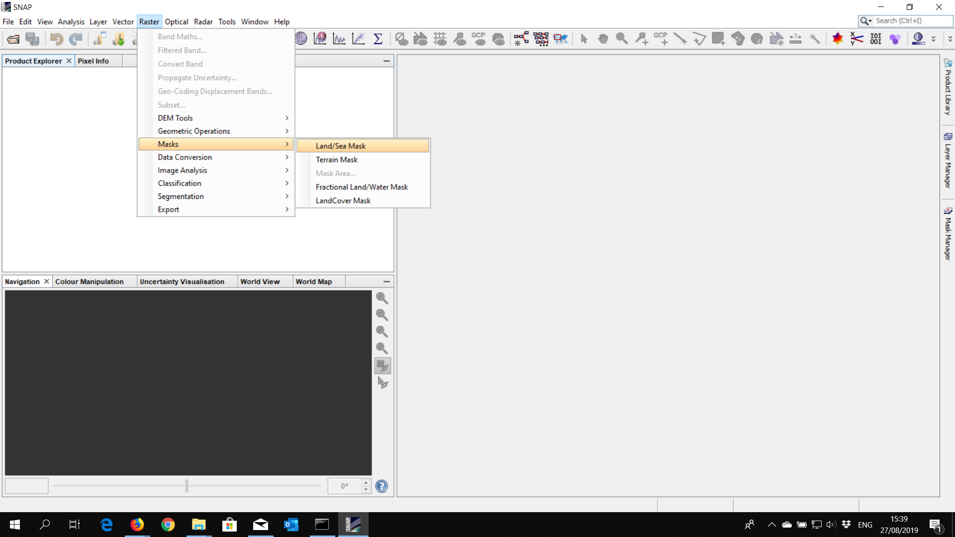
It’s possible to create Shfile, within SNAP Or other sw, and then use it to subset your area of interest in this way, from Raster tab —> Mask —> LandSeaMask
You need some preprocessing steps for example for S1 GRD data you shall apply terrain correction (orthorectification) , once it is in the same map projection as S2 you can collocate two products using raster/geometric operationc/collocation and then subset your AOI
1 Like