You should re-do the interferogram stacking by adding the orthorectified latitutde and longitude bands on the output. As this information is needed for running StaMPS with the coordinate information. This is possible by using only SNAP v.6.0 onwards. In previous version this is not possible. If you are using old graphs (xml), please update it.
but my interferogram was done in SNAP,the link you give indicates that stamps need DOI?,I didnt install DOI on my computer,and I am not willing to use DOI.
Dear @zhuhaxixiong ,
I met the same question when i use SNAP. Maybe you can try it use my method. Please ensure chack the “Output orthorectified Lat/Lon” option both in interferogram and TopophaseRemoval. Then run it .
I hope this helps.
Lamu
Hi all,
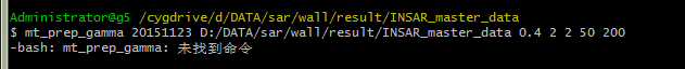
I encountered the following problems when using snap2stamps script. I tried setting the environment variable, but i still haven’t solved it .Maybe i still don’t understand what the ‘current folder’ means. I hope you have time for some guidance.
Thanks
Lamu
The link I have sent you is a link from which you can download some scripts I have prepared and released on last IGARSS conference which helps on the automatic processing of single master DInSAR using SNAP. In case that you use it and you find it useful, I would appreciate you can reference using that link.
You do not have to install anything on your computer to use it.
Let me know if it is clear now.
Cheers,
Hello A Braun, I have repeated the steps with single polarisation (VV) and still got the error. Do you have any other suggestions on how to solve this error?
Thanks for your reply.
I processed atmospheric correction as you adviced with GACOS data by using TRAIN on my Sentinel-1 data.
I tried also MERRA2 but there were no points over my area …
But results return no significant improvement about the dispersion, so I still looking for an explanation and I let you know if I found something.
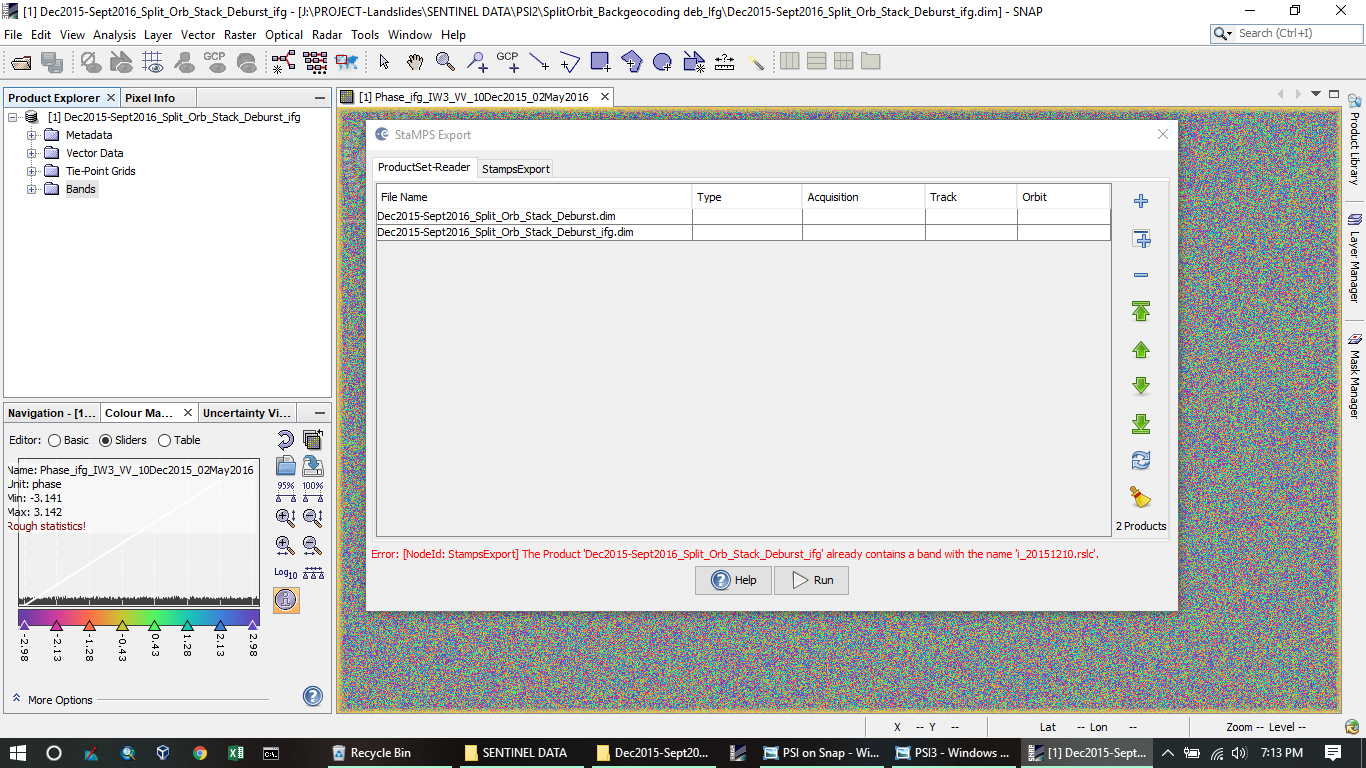
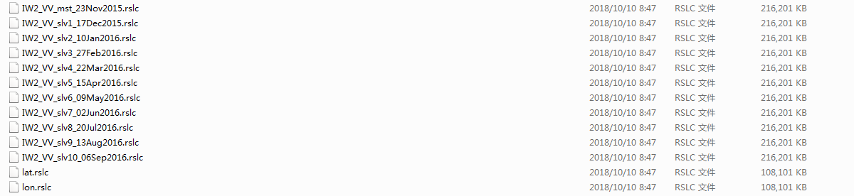
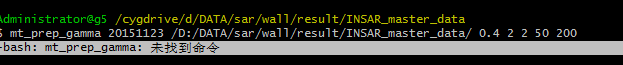
Dear ABraun I have export stamps in INSAR_master_data,and the text said like this
does it mean ,I should add lon and lat to the master_deburst_stack,and save it ,the output shows like this:
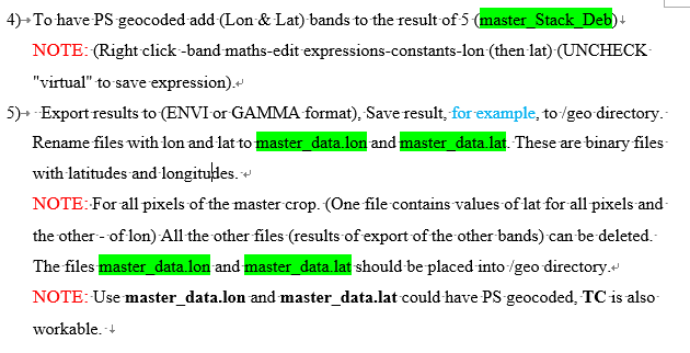
this document is quite outdated. You can generate both a DEM band and a lat/lon band in the interferogram generations step in the meanwhile. No need to generate them manually any longer.