While importing shapefile in Snap via., Vector> Import> Esri ShapeFile. I received the error message referred " The Vector Data loaded successfully, but no part is located within the scene boundaries". Please assist me in this regard.
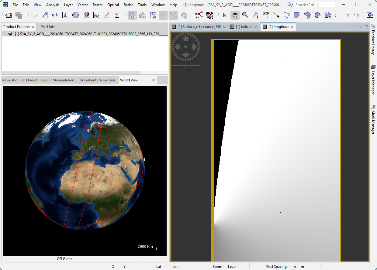
As I am quite new to the topic of satellite assessments, I am currently facing the same issue, but unfortunately reading all the documents and the fix gemeotries hasnt helped either. I wanted to assess Sentinel 3 SYNERGY Level-2 SY_AOD. Additionally I tried the workaround of reprojection in order to import it into QGis but it is still not placed right. If I just import the original .nc file in QGis the layer ist close to the coast of Ghana und very small (I guess the file has no georeferenzation?). After the reprojection it has shifted to the west and no longer looks like the original displayed in SNAP.
I would really appreciate you help!
Thank you for your time, all the best,
Alex
I think the issue you are experiencing is caused by no-data values in there geo-coding information. You can see it for your product when you open the longitude band and enable the no-data mask. Also, the strange product footprint in the world view suggests this.