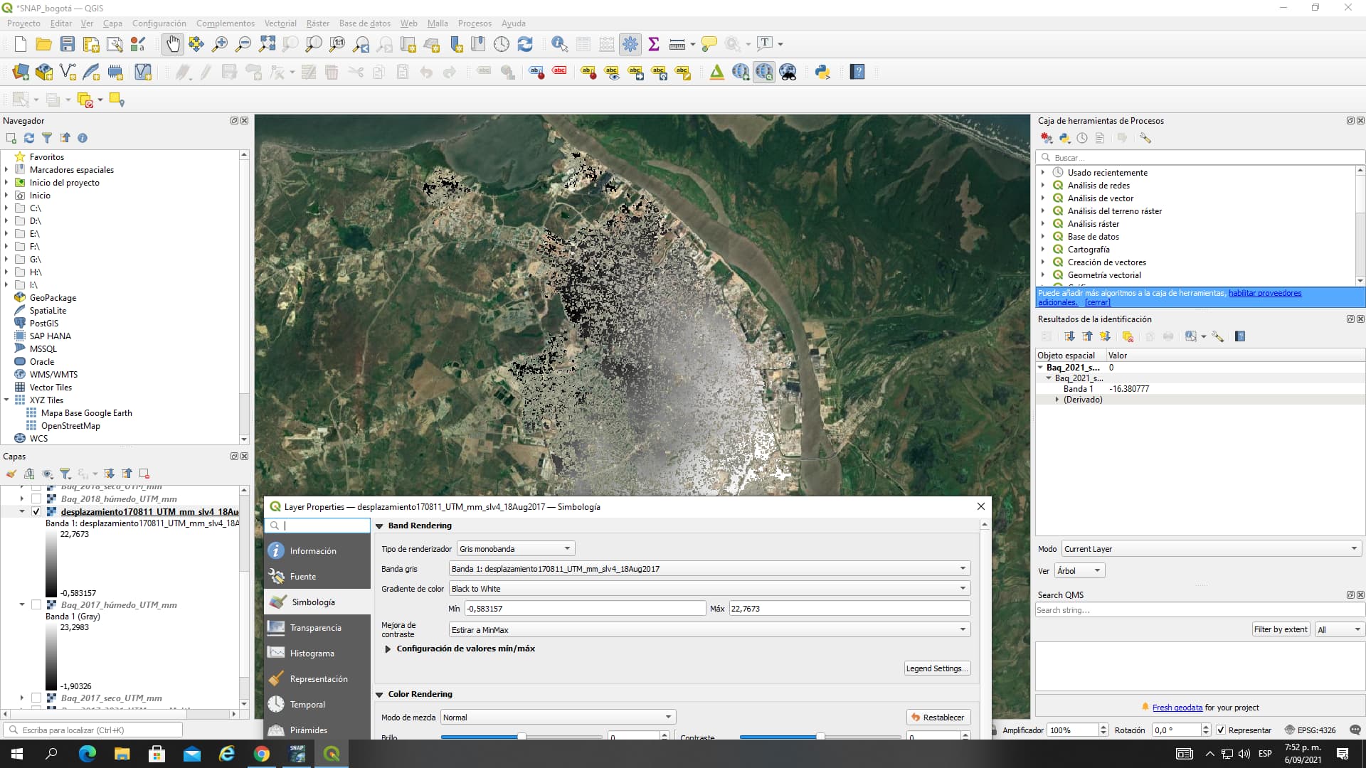
Thanks Mr for your kind help. However, I applied your recommendations selecting “Stretch to MinMax” and
select “Cumulative count cut” (2,0 - 98,0 %)as under Min / Max Value settings as indicated in the “Export of products from SNAP” tutorial.
Min value: -1.90 mm Max value: 23.29 mm (Exported (GEOTIFF) displacement map in QGIS)

Min value: -0.58 mm Max value: 22.76 mm ( img files inside the data folder opened in QGIS)
Min value: -3.91 mm Max value: 26.84 mm (Displacement map in SNAP)
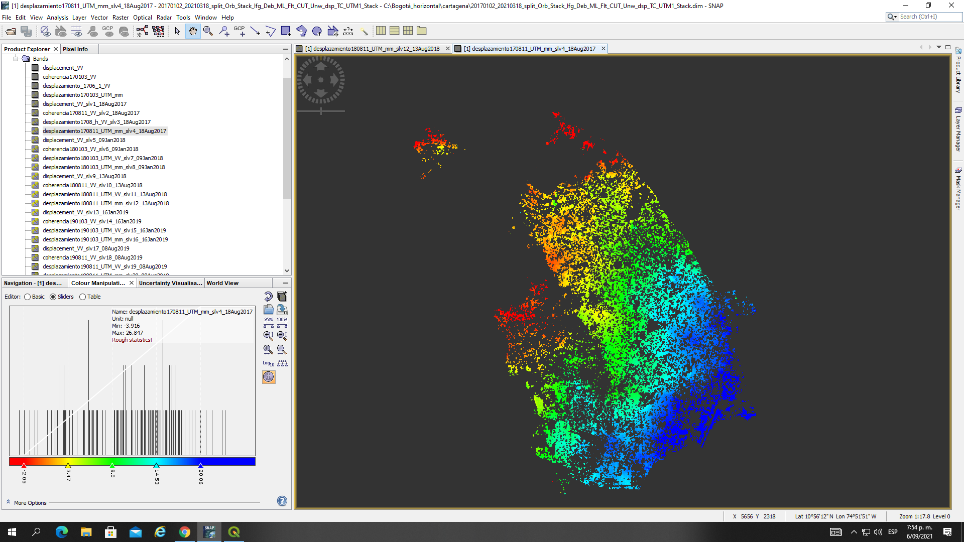
As you can see the max and min values keep different in all cases. I really apreciate your advices and comments abou it.