Hi
I want to analyze the land temperature map from SLSTR level ST data. I have a few questions:
- How can I get cloud-free data?
- How much of an impact does my analysis have if there are a few cloudy pixels on my target area?
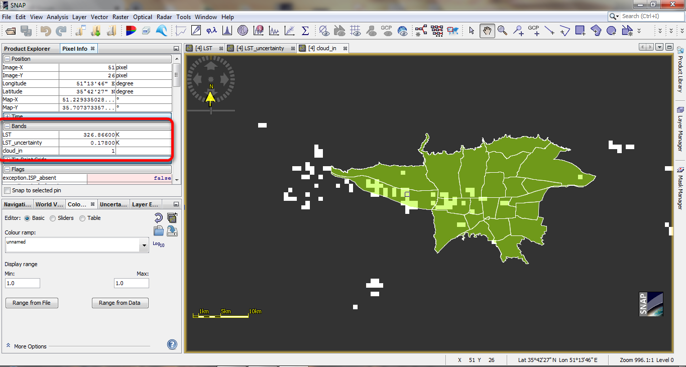
- For example, the uncertainty of the cloud pixels in the region was 0.17800 ° K. Is this uncertainty acceptable?
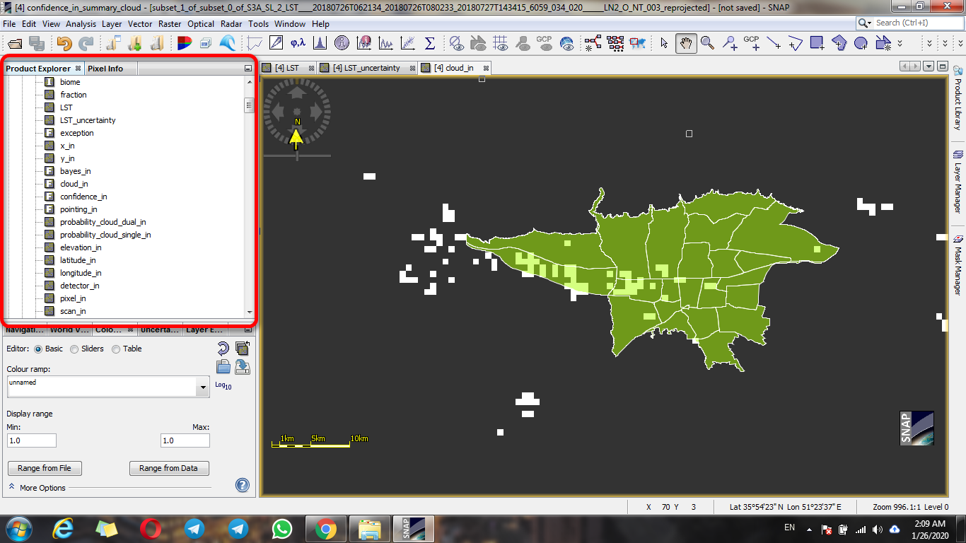
Introduce a product help file(product user guide) that contains complete descriptions of bands and data masks.
I need the user guide file about SLSTR level 2 data
that describes all bands fields. (The picture below)
Thanks
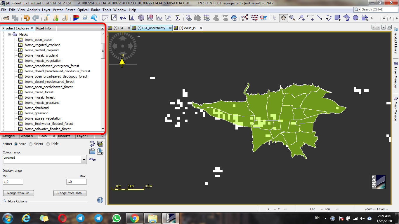
Cloudy pixels should be eliminated from the analysis using the mask manager. If you use them your measure will not refer to LST, but to cloud temperature. Usually bright clouds are detected and flagged, and you can mask them easily with the Mask Manager.
Hi thanks
I used it, but my main problem is to find data without cloudy pixel that it two big problem for sentinel3 SLST data download:
- the quick look doesn’t show in must of data. thats you cant realize clouds in image
- when you downloading sub data included cloud_in.nc in NetCDF format, data doesn’t have coordinate system!! it’s impossible to finde study area and analyze clouds in there.
with limited to data downloading and its size about 2 Gigabyte, it’s very hard to download many data and check them.
can you guide me?
I found that the Cloud_in band value is 1 to 256
which range of this, I can skip the cloudy pixels?
I mean that, if the clouds were thin, can we skip that? or not, we should delete this pixels?
second, I found that, LST_uncertainty for all pixel is between 0.17600 k to 0.18000
can it help me to skip cloudy pixels??
Hi
However, with which band?
will single_moderate band be useful?
Hi?
but how?
could you plz explain it?