Mosaic difficulties with Landsat image

Hi!

I am trying to combine two landsat 8 scenes with the mosaic feature to then do an unsupervised classification, but keep having issues where the two images overlap. Pixel values are combing or not working at all.

It’s probably very basic, but I can’t seem to find the solution anywhere so any advice or tips on where best to troubleshoot would be greatly appreciated.

Thanks, Alex!

have you checked if the mosaicked bands look alright?

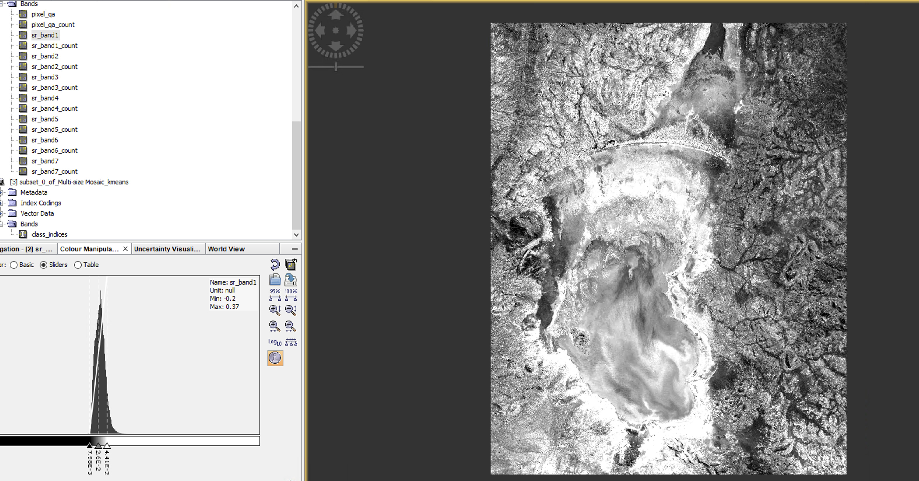
yes individual bands look fine (so does a colour composite) of the mosaicked image see attached, (side note have noticed that I can’t use spectrum view (continuously loading) on mosaicked images) Screenshot 2020-10-26 at 18.54.52|690x360

just to go sure - did you exclude all bands ending with _count before starting the clustering?

No will try that now

these do not contain spectral information, they are just an indocator on the number of bands (basically, where there was overlap)

Thank you so much!!!
This is good to know is there any reason to keep, these bands apart from for keeping a record?

no, you can delete them

Ok thanks again ABraun

glad you solved it!

2 posts were merged into an existing topic: Landsat 8 Mosaicking issue in SNAP

A post was merged into an existing topic: Landsat 8 Mosaicking issue in SNAP