I want to calculate velocity using Offset Tracking in SNAP. I tried doing so using GRDH product of Sentinel 1. The results which I get when I follow the tutorial are confusing. First of all the values which I get is negative and it also contains values which should be outliers considering the maximum velocity option given in Offset Tool. Why does this happen?
The point data which comes with the vector data file Velocity.csv is of very coarse resolution, while the terrain corrected image has a resolution of 10m. Any suggestions to improve the resolution?
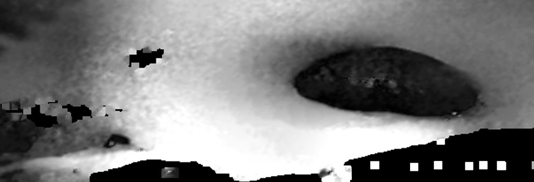
For my case, negatives values appear at the edges of the interpolation, i.e in gaps or near water.
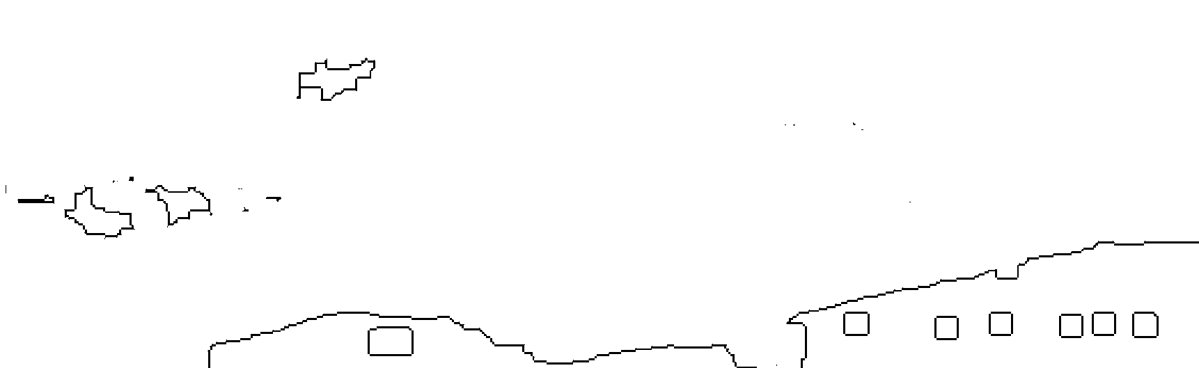
Here you can see the result of the offset tracking and below are the negative values (in black).
Yes, @qglaude I agree about the negative values they usually appear on the edges but I am still not able to figure out about the outliers. Any help will be appreciated.
Can somebody help me to understand what is the problem due to which I am getting these results? I am actually stuck in the middle of a process chain and I need to verify if the results are right or not. Any help will be greatly appreciated. @qglaude can you please tell me what does the negative and boundary values mean and how do we encounter those?